
Country United States Elevation 439 m Local time Wednesday 8:08 PM | GNIS feature ID 0485464 Area 91.6 km² Population 203 (2000) | |
 | ||
Weather 14°C, Wind E at 5 km/h, 27% Humidity | ||
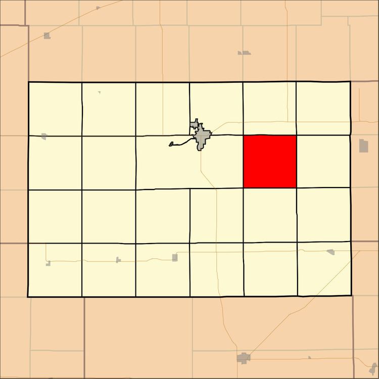
Dale Township is a township in Kingman County, Kansas, USA. As of the 2000 census, its population was 203.
Contents
Map of Dale, KS, USA
Geography
Dale Township covers an area of 35.37 square miles (91.6 square kilometers); of this, 0.3 square miles (0.77 square kilometers) or 0.84 percent is water. The stream of Sand Creek runs through this township.
Unincorporated towns
(This list is based on USGS data and may include former settlements.)
Adjacent townships
Cemeteries
The township contains two cemeteries: Bethany and Murdock.
References
Dale Township, Kingman County, Kansas Wikipedia(Text) CC BY-SA