
 | ||
Glen richards cove
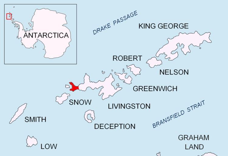
Richards Cove is the 450 m wide cove indenting for 550 m the north coast of Ray Promontory, Byers Peninsula, Livingston Island in the South Shetland Islands, Antarctica, entered east of Aglen Point and west of Voyteh Point. The area was visited by early 19th century sealers.
Contents
The cove is named after Captain John Richards, of the British sealing vessel George that operated in the South Shetland Islands in 1820-21, mainly from nearby Rugged Island.
Location
Richards Cove is located at 62°34′49″S 61°08′55″W. British mapping in 1968, Chilean in 1971, Argentine in 1980, Spanish in 1992, and Bulgarian in 2005 and 2009.
Maps
References
Richards Cove Wikipedia(Text) CC BY-SA