
 | ||
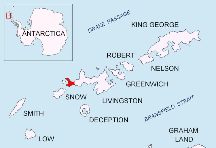
Ray Promontory is the 7 km long and 2.8 km wide promontory lying between Barclay Bay and the New Plymouth sound, and forming the northwest part of Byers Peninsula, Livingston Island in the South Shetland Islands, Antarctica ending up in Start Point and Essex Point. The promontory's interior is mostly occupied by Dospey Heights.
Contents
The feature is named after the American Captain Nathaniel Ray, Master of the sealing schooner Harmony which operated in the islands in 1820-21 .
Location
The promontory is centred at 62°36′00″S 61°08′40″W (British mapping in 1968, detailed Spanish mapping in 1992, and Bulgarian mapping in 2005 and 2009).
Maps
References
Ray Promontory Wikipedia(Text) CC BY-SA