
Vehicle registration RT | Time zone CET (UTC+1) Population 281,080 (31 Dec 2008) | |
 | ||
Website www.kreis-reutlingen.de Points of interest Lichtenstein Castle, Dreamland on the Bear Cave, Karls‑ und Bärenhöhle, Pomologie, Skilift u Bobbahn Donnstetten Destinations | ||
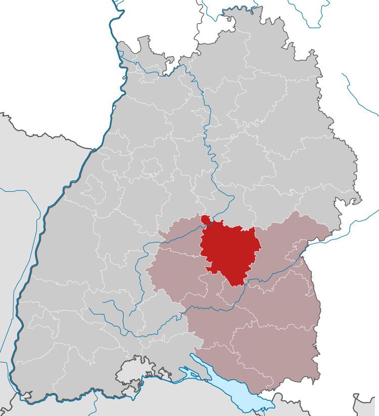
Reutlingen, nicknamed "The Gate to the Swabian Alb" (German: "Das Tor zur Schwäbischen Alb"), is a district (Kreis) in the middle of Baden-Württemberg, Germany. The former free imperial city (until 1802) reached the limit of 100,000 residents in 1989. It is the ninth-largest city in Baden-Württemberg. Reutlingen district's neighboring districts are (from north clockwise) Esslingen, Göppingen, Alb-Donau, Ostalbkreis, Biberach, Sigmaringen, Zollernalbkreis and Tübingen.
Contents
Map of Reutlingen, Germany
History
The district dates back to the Oberamt Reutlingen, which was created in 1803 when the previously free imperial city Reutlingen became part of Württemberg. In 1934 it was converted into the district, in 1938 the district Urach was dissolved and split between the districts Reutlingen and Münsingen. In 1973 the district Münsingen was dissolved, and most part was merged into the district Reutlingen. A few municipalities from the districts Tübingen, Saulgau, Sigmaringen and Nürtingen were also added.
Geography
The district is largely located in the Swabian Alb (Schwäbische Alb).
Transport
The district has no national motorway (German: Autobahn) but has large state roads (German: Bundesstraßen):
Partnerships
The district had a friendship with the Czech district Chrudim. In 2002 the Czech districts were reformed and the region Pardubice became the successor of the district Chrudim.
The district also has a friendship with the Italian Province of Parma, as well as the district Sächsische Schweiz in the Free State of Saxony.
Coat of arms
The coat of arms is the coat of arms of the Counts of Achalm, who ruled the largest part of the district until the 11th century. Even though these counts never used arms by themselves, the Zwiefalten Abbey appointed them these arms.