
Vehicle registration BL, HCH Team HBW Balingen-Weilstetten | Time zone CET (UTC+1) Website www.zollernalbkreis.de | |
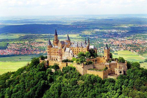 | ||
Points of interest Oberhohenberg, Hohenzollern Castle, Zeller Horn, Raichberg, Lochen Destinations Balingen, Albstadt, Haigerloch, Schömberg - Zollernalbkreis, Meßstetten | ||
The Zollernalbkreis is a district (Landkreis) in the middle of Baden-Württemberg, Germany. The district is located in the Swabian Alb, and contains the second highest elevation of this mountains, the 1011 meter high Oberhohenberg. In the south-east the district nearly reaches till the river Danube.
Contents
Map of Zollernalbkreis, Germany
The district was created on January 1, 1973, when the two previous districts Balingen and Hechingen were merged.
Neighboring districts are (from north clockwise) Tübingen, Reutlingen, Sigmaringen, Tuttlingen, Rottweil and Freudenstadt.
Coat of arms
The coat of arms show the black-and-white checkered symbol of the Hohenzollern in the left half, and the triple black deer antler on yellow ground as the symbol of Württemberg. Almost all of the districts area belonged to these two states historically.
Language
In the area of Zollernalbkreis, Swabian German, Yiddish and Pleißne were spoken. Romani was also spoken. The Pleißne was spoken by hawkers selling wips, and belongs to Rotwelsch. It was used as a code.