
Country State | Language spoken District Guntur | |
 | ||
Map of Repalle
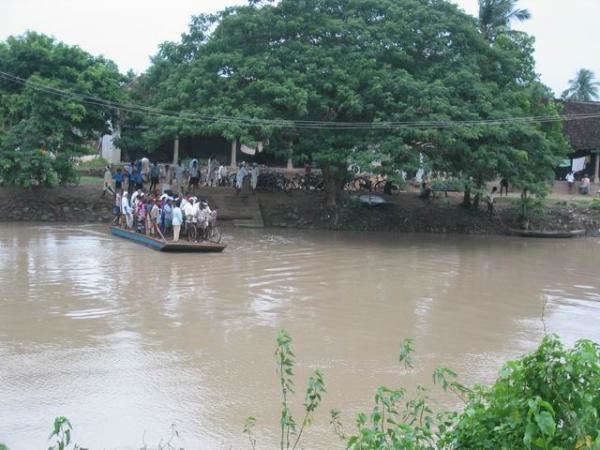
Repalle is a town in Guntur district of the Indian state of Andhra Pradesh. The town is one of the 12 municipalities in Guntur district and the headquarters of Repalle mandal under the administration of Tenali revenue division. It is situated near Krishna River in the Coastal Andhra region of the state.
Contents
- Map of Repalle
- Kshudra poojalu repalle guntur dist studio n
- Apcamping com at krishna river repalle
- History
- Geography
- Demographics
- Government and politics
- Culture
- Transport
- Education
- References
Kshudra poojalu repalle guntur dist studio n
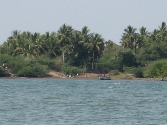
Apcamping com at krishna river repalle
History
The name Repalle is actually formed from two words: Revu (river or bank of the river) and Palle (village). Originally known as Revupalle, the name has evolved to Repalle over time.
Geography
Repalle is located at 16.01°N 80.51°E / 16.01; 80.51. It has an average elevation of 7 m (23 ft) and situated 10.62 km (6.60 mi). The nearest towns are Tenali, Bapatla in the Guntur district, and Machilipatnam in the Krishna district.
Climate
Repalle is located 25 km from the sea coast. It is generally hot and humid during summer with temperatures ranging between 28 and 42 C on average. Winters are milder with temperatures between 15 and 30 C on average. Heavy rains are experienced between July and November during monsoon time.
Demographics
As of 2011 census, the town had a population of 50,866. The total population constitute, 24,385 males and 26,481 females —a sex ratio of 1086 females per 1000 males. 4,308 children are in the age group of 0–6 years, of which 2,184 are boys and 2,124 are girls. The average literacy rate stands at 81.32% with 37,862 literates, significantly higher than the state average of 67.41%.
Government and politics
Civic Administration
Repalle Municipality is a second grade municipality, which was established in the year 1965. It is spread over an area of 10.97 km2 (4.24 sq mi). It has 28 wards with an extent of 10.97 km2 (4.24 sq mi). The present municipal commissioner of the city is D.Srinivasa Rao. The present municipal chairman of the city is Tadivaka Srinivasa Rao(Telugu Desam Party).The municipal department maintains amenities such as, public taps, public bore-wells, drains, roads, street lights, public parks etc. Others include, dispensaries, elementary and secondary schools etc.
Politics
Repalle is a part of Repalle (Assembly constituency) for Andhra Pradesh Legislative Assembly. Anagani Satya Prasad is the present MLA of the constituency from Telugu Desam Party. The assembly segment in turn is a part of Bapatla (SC) (Lok Sabha constituency), which was won by Malyadri Sriram of Telugu Desam Party.
Culture
Kasinathuni Viswanath is a notable person from Repalle, who contributed to the [[Telugu cinema
Transport
The town has a total road length of 115.10 km (71.52 mi). The Repalle bus station is owned and operated by Andhra Pradesh State Road Transport Corporation. The bus station is also equipped with a bus depot for storage and maintenance of buses. The National Highway 216 passes by the village Penumudi near to Repalle, which connects Digamarru and Ongole. Repalle is a B–category terminus station on the Tenali–Repalle branch line of Guntur railway division.
Education
The primary and secondary school education is imparted by government, aided and private schools, under the School Education Department of the state. The medium of instruction followed by different schools are English, Telugu.