
Length 397 km | ||
 | ||
North end: Kathipudi, Andhra Pradesh Primarydestinations: | ||
National Highway 216 is a highway in Andhra Pradesh operated by National Highways Authority of India. The old number of this highway is NH 214.
Contents
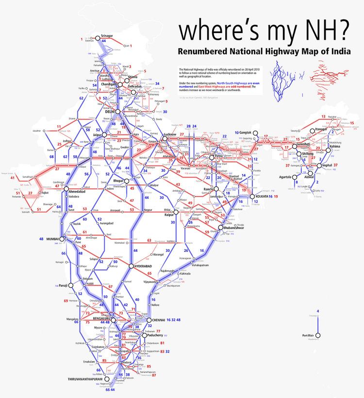
Map of NH216, Andhra Pradesh
It starts from NH 16 starts at Kathipudi, East Godavari and meets NH 16 again at Ongole, in the state of Andhra Pradesh. The highway extends 406 kilometres (252 mi) through the districts of East Godavari, West Godavari, Krishna, Guntur and Prakasham. It is considered coastal lifeline and an alternative to NH 16 in these districts.
Visakhapatnam - Kakinada Petro Chemical Corridor was proposed along this highway.
Route
Route length in states:
There is proposal to make this highway to 4 lane highway. Work is undergoing in acquiring the land for the extension.
References
National Highway 216 (India) Wikipedia(Text) CC BY-SA