
Population 2,651 (30 Sep 2016) | Local time Sunday 9:07 AM | |
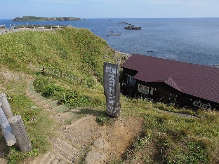 | ||
Time zone Japan Standard Time (UTC+9) City hall address 558-5 Aza Tonnai, Ōaza Kafuka-mura, Hokkaidō097-1201 Weather 3°C, Wind SW at 14 km/h, 73% Humidity Points of interest Rebun Island, Cape Sukoton, Cape Sukai, Kitano Canary Park, Momoiwa | ||
Rebun (礼文町, Rebun-chō) is a town located in Rebun District, Sōya Subprefecture, Hokkaido, Japan. The district and town both cover the island of the same name: Rebun Island. Rebun Island is famous for its alpine flowers.
Contents
- Map of Rebun Rebun District Hokkaido Prefecture Japan
- Geography
- Demographics
- Arts and culture
- Sister cities
- References
Map of Rebun, Rebun District, Hokkaido Prefecture, Japan
Geography
The town covers the entire area of Rebun Island in the Sea of Japan. Rebun is located approximately 50 kilometres (31 mi) from Wakkanai on mainland Hokkaido and 10 kilometres (6.2 mi) northwest of Rishiri Island. The entire island is part of the Rishiri-Rebun-Sarobetsu National Park. Lake Kushu and Mount Rebun (Rebun's highest point) are located in the town.
Rebun is well known for its 300 species of alpine flowers, some of which are endemic to the island. For this it has earned the moniker the island of flowers. Such flowers include: Cypripedium macranthum Sw. var. rebunense (Kudo) Miyabe et Kudo (Rebun atsumori-sō).
Demographics
As of September 30, 2016, the town has an estimated population of 2,651 and a density of 33 persons per km2. The total area is 81.33 km2.
Arts and culture
Rebun hosts a flower festival every year.