
Country India PIN 742306 (Sagarpara) Elevation 22 m Population 190,885 (2011) | Time zone IST (UTC+5:30) Telephone/STD code 03482 Area 195.6 km² Area code 03482 | |
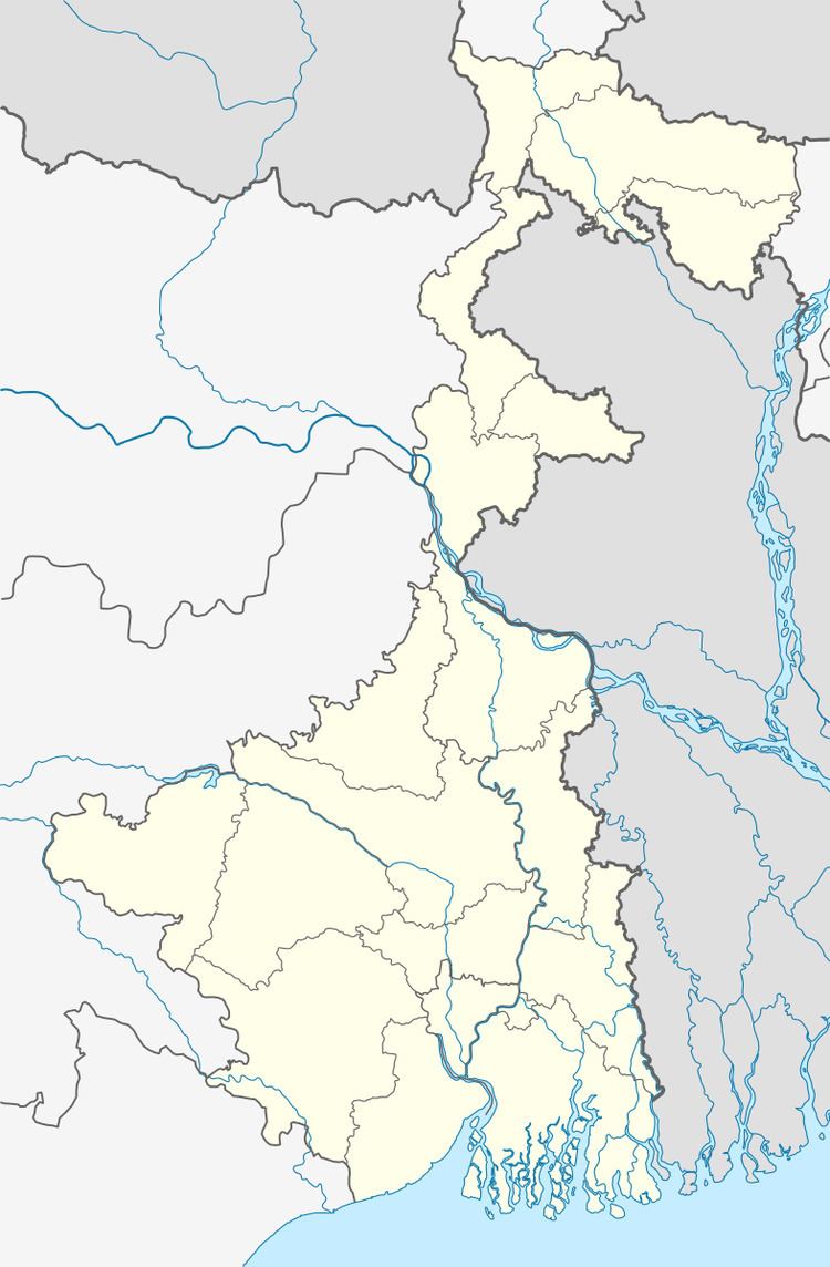 | ||
Raninagar II is a community development block that forms an administrative division in Domkol subdivision of Murshidabad district in the Indian state of West Bengal. Raninagar police station serves this block. Headquarters of this block is at Raninagar. It is located 34 km from Baharampur, the district headquarters.
Contents
Location
Malibari, a constituent panchayat in Raninagar II block, is located at 24°14′21″N 88°30′30″E
Raninagar II CD Block is bounded by Rajshahi District of Bangladesh, across the Padma, in the north, Jalangi CD Block in the east, Raninagar I and Domkal CD Blocks in the south and Bhagawangola II CD Block in the west.
Area
Raninagar II CD Block has an area of 195.56 km2.
Physical features
The Bhagirathi divides the district into two parts namely Bagri on the east and Rahr on the west. The Padma separates the district from Malda district, and Chapai Nawabganj and Rajshahi districts of Bangladesh.
Gram panchayats
Gram panchayats of Raninagar II block/ panchayat samiti are: Kalinagar I, Kalinagar II, Katlamari I, Katlamari II, Malibari I, Malibari II, Rajapur, Raninagar I and Raninagar II.
Raninagar-I Gram Panchayat is situated at Raninagar Bazar, There are 17 nos. of sansad in the G.P area. There are three moujas 83-Babaltali, 82-Deputipara, 81-Godhanpara. Ilsemari, Godhanpara, Panipia, Deputipara, Raninagar Purba, Raninagar Paschim, Raninagar Madhya, Babaltali Sarkarpara, Babaltali Mondalpara, Najarana, Lalchandabad are the villages of the G.P. The name of the prodhan of Raninagar-I G.P. Champa Khatun Bibi.
Population
As per 2011 Census of India Raninagar II CD Block had a total population of 190,885, all of which were rural. There were 97,359 (51%) males and 93,526 (49%) females. Population below 6 years numbered 26,382. Scheduled Castes numbered 22,189 and Scheduled Tribes numbered 550.
As per 2001 census, Raninagar II block has a total population of 155,612, out of which 80,635 were males and 74,977 were females. Raninagar II block registered a population growth of 17.29 per cent during the 1991-2001 decade. Decadal growth for the district was 23.70 per cent.Decadal growth in West Bengal was 17.84 per cent.
Large villages
Large villages in Raninagar II CD Block were (2011 population figures in brackets): Brindabanpur (4,815), Malibari (11,586), Mridadpur (4,850), Tejsinghpur (7,702), Ramnagar Doemkanun (11,781), Godhanpara (14,173), Babaltali (20,177), Jhaubaria (5,752), Majhardiar (6,176), Katlamari (33,290), Nabipur (9,092), Rajanagar (17,194) and Char Bansgora (6,585).
Literacy
As per 2011 census the total number of literates in Raninagar II CD Block was 104,623 (54.81% of the population above 6 years) out of which 54,404 (52%) were males and 50,219 (48%) were females.
As per 2011 census, literacy in Murshidabad district was 66.59.Literacy in West Bengal was 77.08% in 2011.Literacy in India in 2011 was 74.04%.
Language
Bengali is the local language in these areas.
Healthcare
Raninagar II block is one of the areas where ground water is affected by arsenic contamination.
There are three hospitals: Katlamari hospital, Nabipur hospital and Godhanpara Block Primary Health Centre.