
Country India PIN 742135 (Bhagwangola) Area 149.6 km² Population 158,024 (2011) | Time zone IST (UTC+5:30) Telephone/STD code 03482 Elevation 24 m Area code 03482 | |
 | ||
Bhagawangola II is a community development block that forms an administrative division in Lalbag subdivision of Murshidabad district in the Indian state of West Bengal. Ranitala police station serves this block. Headquarters of this block is at Nasipur Balagachi. It is located 30 km from Baharampur, the district headquarters.
Contents
- Map of Bhagwangola ii West Bengal 742135
- Location
- Area
- Physical features
- Gram panchayats
- Population
- Large villages
- Literacy
- Language
- Healthcare
- References
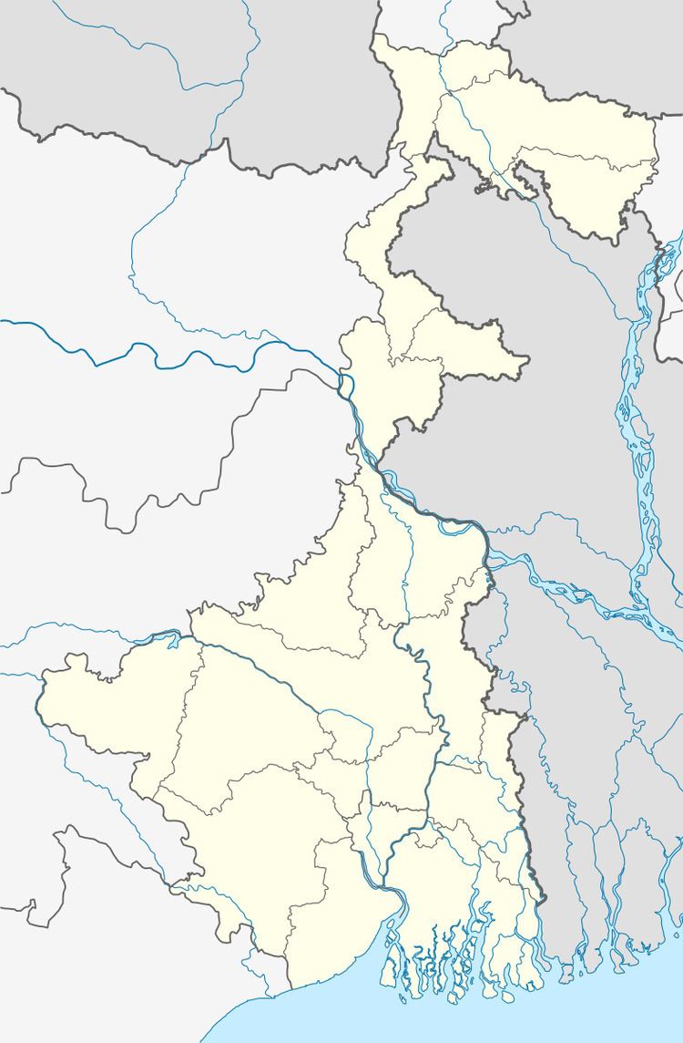
Map of Bhagwangola-ii, West Bengal 742135
Location
Nashipur is located at 24°18′32″N 88°21′29″E
Bhagawangola II CD Block is bounded by Rajshahi District of Bangladesh, across the Padma, in the north, Raninagar II CD Block in the east, Murshidabad-Jiaganj and Raninagar I CD Blocks in the south and Bhagawangola I CD Block in the west.
Area
Bhagawangola II community development block has an area of 149.59 km2.
Physical features
The Bhagirathi divides the district into two parts namely Bagri on the east and Rahr on the west. The Padma separates the district from Malda district, and Chapai Nawabganj and Rajshahi districts of Bangladesh.
Gram panchayats
Gram panchayats in Bhagawangola II block/ panchayat samiti are: Akheriganj, Amdahara, Baligram, Karibona, Nashipore and Saralpore.
Population
As per 2011 Census of India Bhagawangola II CD Block had a total population of 158,024, all of which were rural. There were 80,699 (51%) males and 77,325 (49%) females. Population below 6 years totalled 23,473. Scheduled Castes numbered 5,218 and Scheduled Tribes numbered 45.
As per 2001 census, Bhagawangola II block has a total population of 129,907, out of which 66,813 were males and 63,094 were females. Bhagawangola II block registered a population growth of 17.83 per cent during the 1991-2001 decade. Decadal growth for the district was 23.70 per cent.Decadal growth in West Bengal was 17.84 per cent.
Large villages
Large villages in Bhagwangola II CD Block were (2011 population figures in brackets): Amdahara Haziganj (4,281), Nasirpur (25,644), Khamar Diar (8,385), Sankarpur (4,346), Khagjana (6,232), Kolan Radhakantapur (6,435), Bhandara (5,747), Benipur (5,167), Pukhuria (5,904) and Dakshin Sahar (7,849).
Literacy
As per 2011 census the total number of literates in Bhagawangola II CD Block was 84,512 (53.48% of the population above 6 years) out of which 43,035 (51%) were males and 41,484 (49%) were females.
As per 2011 census, literacy in Murshidabad district was 66.59.Literacy in West Bengal was 77.08% in 2011.Literacy in India in 2011 was 74.04%.
Language
Bengali is the local language in these areas.
Healthcare
Bhagawangola II block is one of the areas where ground water is affected by arsenic contamination.