City Ramanujganj PIN 497220 Population 13,692 (2011) | Time zone IST (UTC+5:30) Elevation 428 m Area code 07779 | |
 | ||
Weather 29°C, Wind S at 0 km/h, 36% Humidity | ||
Ramanujganj is a historical place. It is the most populous town of the Balrampur-Ramanujganj district. Ramanujganj is the border town of Chhattishgarh-Jharkhand State. The nearest airports are Ranchi and Raipur. The nearest railway stations are Garhwa and Ambikapur.
Contents
Geography
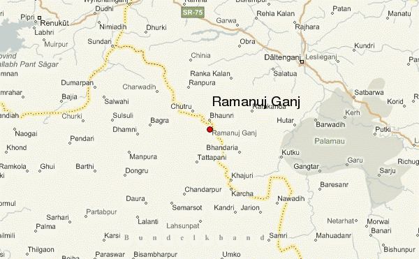
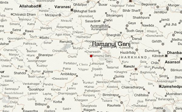
Ramanujganj is located at 23.80°N 73.70°E / 23.80; 73.70. It has an average elevation of 428 m (1,404 ft).
Demographics
As of 2011 India census, Ramanujganj had a population of 15692. Males constitute 48% of the population and females 52%. Ramanujganj has an average literacy rate of 90%, higher than the national average of 59.5%: male literacy is 74%, and female literacy is 56%. In Ramanujganj, 17% of the population is under 6 years of age.
Tourist attractions
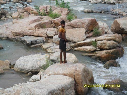
The nearby tourist attractions are Tattapani (hot spring) which hosts a yearly fair in the month of January. There is a temple named pahadi mandir situated on the nearby hill and a lake which is very popular among the local population for boat riding and the park nearby. There is also a picnic spot called paltan ghat and babaka dukan 3 km from the city known for its naturally carved rocks formed by the stream of river Kanhar. There are also many garderns temples and parks.