
Range Vosges | Elevation 1,305 m | |
 | ||
Similar Rothenbachkopf, Kastelberg, Batteriekopf, Hohneck, Le Tanet | ||
2016 09 trail rainkopf
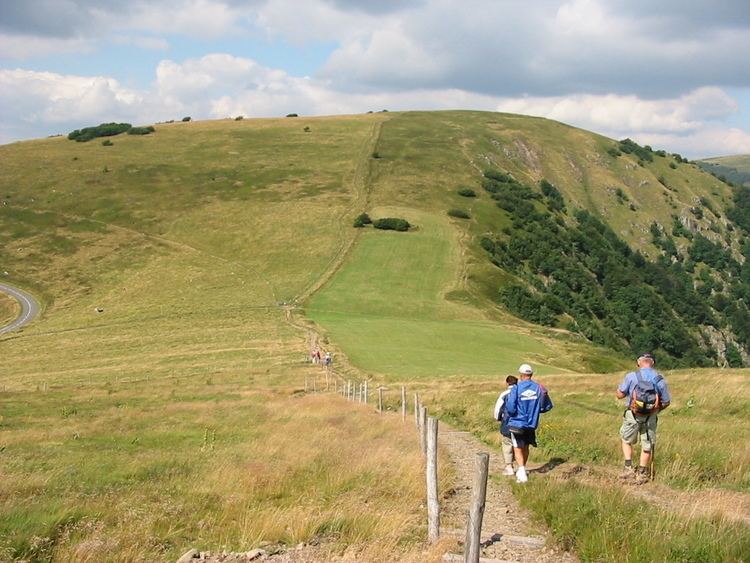
The Rainkopf is one of the highest summits of the Vosges Mountains. It is located on the border between the French regions of Alsace and Lorraine. Not faraway from its summit is located a mountain hut called Refuge "Louis Hergès" au Rainkopf
Contents
- 2016 09 trail rainkopf
- Map of Rainkopf 68380 Metzeral France
- Trail du rainkopf 2014 la bresse vosges
- EtymologyEdit
- GeographyEdit
- References
Map of Rainkopf, 68380 Metzeral, France
Trail du rainkopf 2014 la bresse vosges
EtymologyEdit
In German Rainkopf means ravine mountain.
GeographyEdit
The mountain is divided between the French municipalities of La Bresse (dep. of Vosges, Lorraine), Mittlach and Wildenstein (dep. of Haut-Rhin, Alsace).
The well known Route des Crêtes (French for road of the peaks) transits not faraway from the top of the mountain, which can be reached by a foothpath signposted by the Vosges Club.
References
Rainkopf Wikipedia(Text) CC BY-SA