
Province Québec | Length 95.9 km | |
 | ||
Counties: Argenteuil / Les Pays-d'en-Haut / Les Laurentides / Matawinie | ||
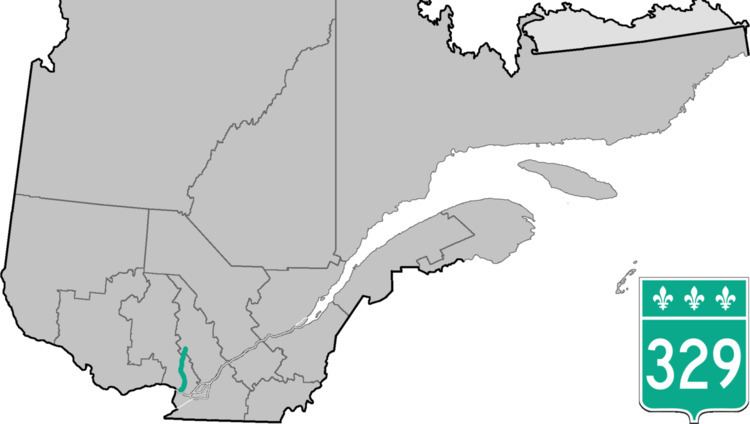
Route 329 is a provincial highway located in the Laurentides and Lanaudière region of Quebec and serves a large portion of the popular touristic area as well as numerous lakes and cottage areas in the Middle and Upper Laurentians. It runs from the junction of Route 148 just east of Lachute and ends 93 kilometers further north at the junction of Route 125 in Saint-Donat just south of Mont-Tremblant National Park. It is briefly concurrent with Route 364 in Morin-Heights and Route 117 in Sainte-Agathe-des-Monts.
Contents
Map of QC-329, Qu%C3%A9bec, Canada
Municipalities along Route 329
References
Quebec Route 329 Wikipedia(Text) CC BY-SA