
Time zone EST (UTC-5) Area code 450, 579 Province Québec | Demonym(s) Laurentien(ne) Postal code J Population 555,614 (2011) | |
 | ||
Regional CountyMunicipalities (RCM) and EquivalentTerritories (ET) 7 RCM, 1 ETAntoine-LabelleArgenteuilDeux-MontagnesLa Rivière-du-NordLes LaurentidesLes Pays-d'en-HautThérèse-De BlainvilleMirabel, Quebec (ET) | ||
Tam bao son buddist monastery montreal quebec canada monastere bouddhiste laurentides
The Laurentides ([lɔʁɑ̃tid]) is a region of Quebec. While it is often called the Laurentians in English, the region includes only part of the Laurentian mountains. It has a total land area of 20,744.29 km2 (8,009.42 sq mi) and a 2011 census population of 555,614 inhabitants.
Contents
- Tam bao son buddist monastery montreal quebec canada monastere bouddhiste laurentides
- Map of Laurentides QC Canada
- Subdivisions
- References
Map of Laurentides, QC, Canada
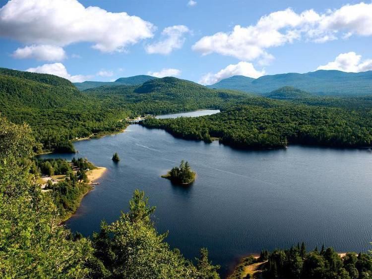
The area was inhabited by the Montagnais First Nations tribe, until the French settled it in the first half of the 19th century, establishing an agricultural presence throughout the valleys. During the 20th century, the area also became a popular tourist destination, based on a cottage and lake culture in the summer, and a downhill and cross-country ski culture in the winter. Ski resorts include Saint-Sauveur and Mont Tremblant.
The Laurentides still offer a weekend escape for Montrealers and tourists from New England to Ontario, though with the building of a major highway through the area in the 1970s (Autoroute 15), the area has experienced a lot of growth. Its largest city is Saint-Jérôme, in its extreme southeast, with a 2011 census population of 68,456 inhabitants.