
North end: in Saint-Denis Major cities: Saint-Philippe-de-Neri Province Québec | Length 42 km | |
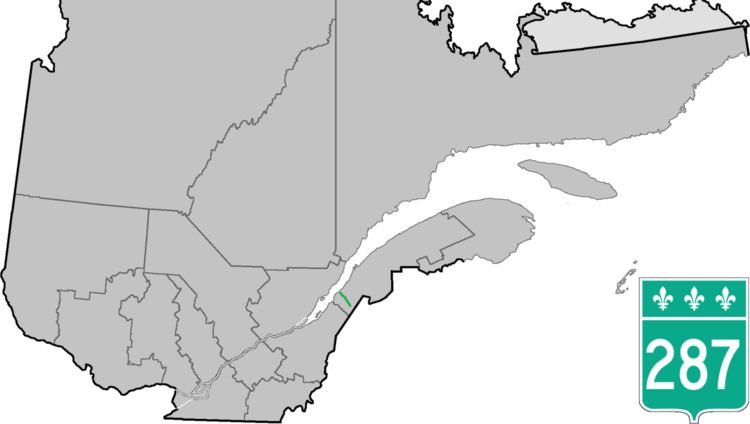 | ||
Route 287 is a 42 km two-lane north/south highway on the south shore of the Saint Lawrence River in the Bas-Saint-Laurent region of Eastern Quebec, Canada. Its northern terminus is in Saint-Denis at the junction of Route 132 and the southern terminus is at Lac de l'Est, part of the municipality of Mont-Carmel. About 10 km after Mont-Carmel, the route becomes a gravel road until the lake.
Contents
Map of QC-287, Qu%C3%A9bec, Canada
List of towns along Route 287
References
Quebec Route 287 Wikipedia(Text) CC BY-SA