
RCM Kamouraska Time zone EST (UTC−5) Area 438.6 km² Province Québec Mayor Denis Lévesque | Region Bas-Saint-Laurent Constituted July 1, 1855 Postal code(s) G0L 1W0 Population 1,136 (2011) Local time Friday 5:02 PM | |
 | ||
Weather -3°C, Wind W at 13 km/h, 58% Humidity | ||
Mont-Carmel is a municipality in the Canadian province of Quebec, located in the Kamouraska Regional County Municipality, on the Canada–United States border.
Contents
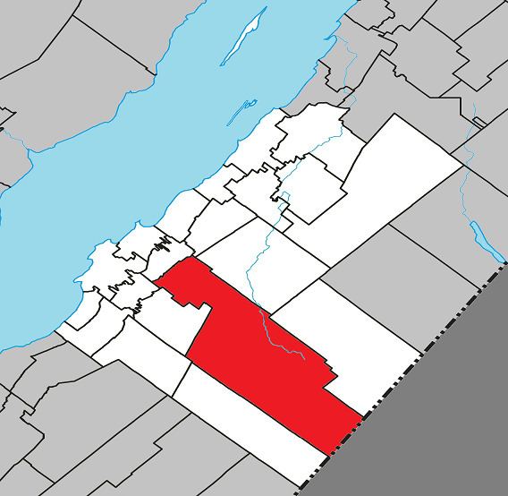
Map of Mont-Carmel, QC, Canada
Geography
Spanning over 75% of the width of the Bas-Saint-Laurent region in which it resides, Mont-Carmel is the second largest subdivision within the Kamouraska Regional County Municipality and borders the United States at its southwest limit.
Communities and locations
The following designated areas reside within the municipality's boundaries:
Municipal council
References
Mont-Carmel, Quebec Wikipedia(Text) CC BY-SA