Rahul Sharma (Editor)

Quebec Route 271

Updated on
Edit
Like
Comment
Share on FacebookTweet on TwitterShare on LinkedInShare on Reddit
North end:
  
in Sainte-Croix

Length
  
123 km

South end:
  
in Saint-Georges

Province
  
Québec

Quebec Route 271

Major cities
  
Saint-Georges, Laurier-Station

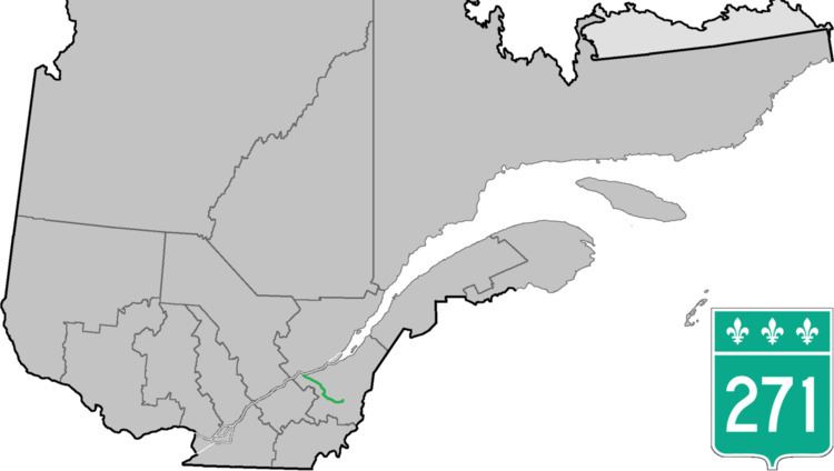
Route 271 is a two-lane north/south highway on the south shore of the Saint Lawrence River in Quebec, Canada. Its northern terminus is in Sainte-Croix at the junction of Route 132, and the southern terminus is at the junction of Route 173 in Saint-Georges.

Contents

Map of QC-271, Qu%C3%A9bec, Canada

Towns along Route 271

  • Sainte-Croix
  • Notre-Dame-du-Sacré-Coeur-d'Issoudun
  • Laurier-Station
  • Saint-Flavien
  • Dosquet
  • Sainte-Agathe-de-Lotbinière
  • Saint-Jacques-de-Leeds
  • Saint-Pierre-de-Broughton
  • Sacré-Coeur-de-Jésus
  • Sainte-Clotide-de-Beauce
  • Saint-Éphrem-de-Beauce
  • Saint-Benoît-Labre
  • Saint-Georges
  • References

    Quebec Route 271 Wikipedia