
Time zone EST (UTC−5) Area code(s) 418 and 581 Area 72.4 km² Province Québec | Constituted October 5, 2001 Postal code(s) G0S 2H0 Highways Route 132 Route 271 Population 2,352 (2011) Local time Tuesday 10:30 PM | |
 | ||
Weather 0°C, Wind NE at 3 km/h, 86% Humidity RCM Lotbinière Regional County Municipality | ||
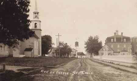
Sainte-Croix is a municipality in and the seat of the Municipalité régionale de comté de Lotbinière in Quebec, Canada. It is part of the Chaudière-Appalaches region and the population is 2,433 as of 2009. The new constitution dates from 2001, after the amalgamation of the parish and the village of Sainte-Croix.
Contents
Map of St-Croix, QC, Canada
Name
Sainte-Croix name refers to the True Cross, but was in use well before its foundation in 1713. In fact, the seigneurie of Sainte-Croix was granted in 1637 to the Company of One Hundred Associates at a point named Platon Sainte-Croix (Holy Cross Flats in English), at the mouth of the Jacques-Cartier River. It had been named as such by Jacques Cartier, who had spent the winter of 1535-36 there. Samuel de Champlain explained in 1613 that there had been a mistake and this was not the place where Jacques Cartier had wintered. The point is now called Pointe Platon ("Plato (or Flat) Point").