
Province Québec | Length 142.6 km | |
 | ||
South end: US 201 / SR 6 at Sandy Bay Township, Maine, US Major cities | ||
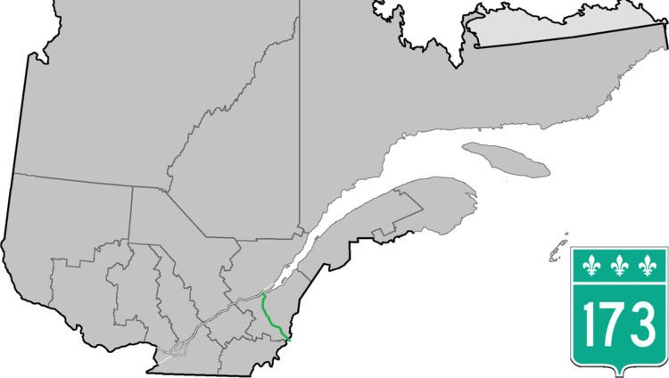
Route 173 (Route-du-Président-Kennedy) is a major north/south highway on the south shore of the St. Lawrence River in Quebec, Canada, named after the assassinated American president, John F. Kennedy. Its southern terminus is at the Armstrong-Jackman Border Crossing in Saint-Théophile in the hamlet of Armstrong, at the border with Maine (U.S. Route 201 / Maine SR 6), and its northern terminus is in Lévis at the junction of Route 132. Route 173 follows the Chaudière River for most of its course, from Saint-Georges, up to Scott, where the route goes in a more northeastern route towards Lévis, crossing the Etchemin River in the municipality of Saint-Henri-de-Lévis.
Contents
Map of Hwy 173, Qu%C3%A9bec, Canada
Municipalities along Route 173
References
Quebec Route 173 Wikipedia(Text) CC BY-SA