
North end: east of Saint-Agapit Length 138 km | Province Québec | |
 | ||
Major cities Thetford Mines, Adstock, Quebec | ||
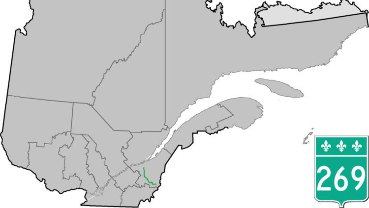
Route 269 is a two-lane north-south highway on the south shore of the Saint Lawrence River, in Quebec, Canada. Its northern terminus is close to Saint-Gilles at the junction of Route 116, and the southern terminus is at the junction of Route 173 in Armstrong, part of Saint-Théophile. The stretch between Saint-Gilles and Kinnear's Mills is very scenic, rising and dipping in the Appalachians.
Contents
Map of QC-269, Qu%C3%A9bec, Canada
List of towns along Route 269
References
Quebec Route 269 Wikipedia(Text) CC BY-SA