Time zone EST (UTC−5) Area 436.9 km² Local time Tuesday 9:14 PM | Constituted June 28, 1975 Postal code(s) G0M 2A0 Population 743 (2011) Province Québec | |
 | ||
Weather 1°C, Wind NW at 5 km/h, 99% Humidity | ||
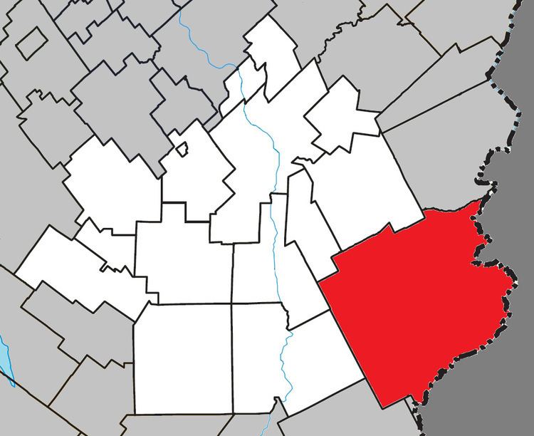
Saint-Théophile is a municipality in the Municipalité régionale de comté de Beauce-Sartigan in Quebec, Canada on the Canada–United States border. It is part of the Chaudière-Appalaches region and the population is 765 as of 2009. It is named after reverend Théophile Montminy, who had been chosen by the archdiocese to find a proper location for a church.
Map of Saint-Th%C3%A9ophile, QC, Canada
Saint-Théophile lies next to the border with Maine, and there is a border crossing on Route 173 within the municipality, in the hamlet of Armstrong. The Armstrong custom office is the third in importance in Quebec.
References
Saint-Théophile, Quebec Wikipedia(Text) CC BY-SA
