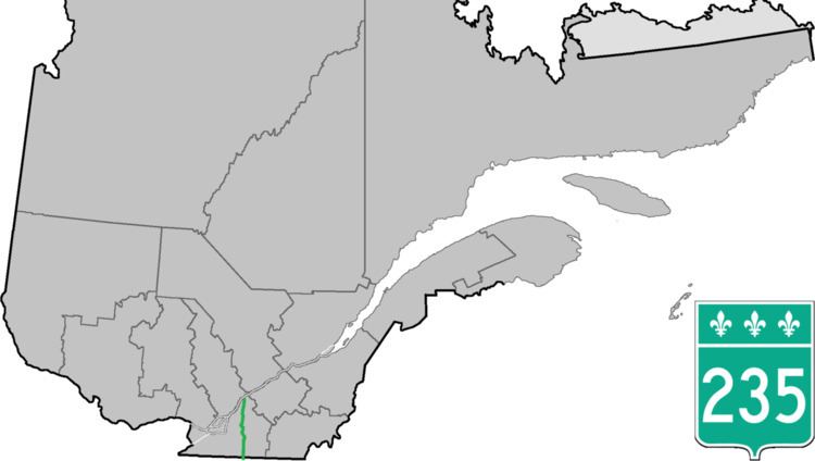
Province Québec | Length 131 km | |
 | ||
South end: VT 235 / Rainville Road in Franklin, Vermont | ||
Route 235 is a Quebec provincial highway located in the Estrie and Montérégie regions in the southeastern part of the province. The highway runs from the Morses Line Border Crossing at the Canada-United States border in Saint-Armand to Yamaska. It overlaps Route 239 in Massueville and Route 137 and Route 116 in Saint-Hyacinthe. A small portion of the highway near its northern terminus runs parallel to the Yamaska River.
Contents
Map of Rte 235, Qu%C3%A9bec, Canada
Municipalities along Route 235
References
Quebec Route 235 Wikipedia(Text) CC BY-SA
