Girish Mahajan (Editor)

Quebec Route 202

Updated on
Edit
Like
Comment
Share on FacebookTweet on TwitterShare on LinkedInShare on Reddit
Length
  
140.5 km

Major cities
  
Huntingdon

Province
  
Québec

Quebec Route 202

West end:
  
Route 132 in Sainte-Barbe

East end:
  
Route 104 / Route 139 in Cowansville

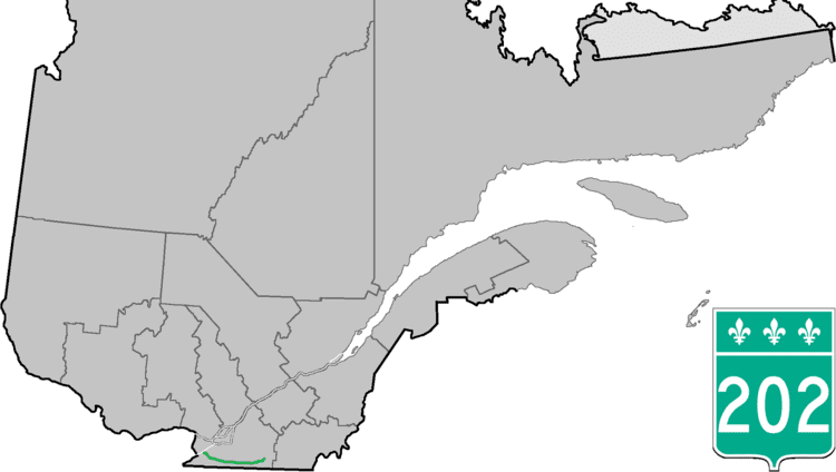
Counties:
  
Le Haut-Saint-Laurent / Les Jardins-de-Napierville / Le Haut-Richelieu / Brome-Missisquoi

Route 202 is an east/west 140-kilometer highway in the Monteregie region of the province of Quebec, Canada. Its western terminus is at the junction of Route 132 in Sainte-Barbe and its eastern terminus is in southern Cowansville at the junctions of Route 104 and Route 139. The highway runs a few kilometers north of the United States-Canada border for most of its length.

Contents

Map of QC-202, Qu%C3%A9bec, Canada

Municipalities along Route 202

  • Sainte-Barbe
  • Huntingdon
  • Hinchinbrooke
  • Franklin
  • Havelock
  • Hemmingford (township)
  • Hemmingford (village)
  • Saint-Bernard-de-Lacolle
  • Lacolle
  • Noyan
  • Saint-Georges-de-Clarenceville
  • Venise-en-Québec
  • Pike River (formerly Saint-Pierre-de-Véronne-à-Pike-River)
  • Stanbridge Station
  • Bedford (township)
  • Bedford (city)
  • Stanbridge East
  • Dunham
  • Cowansville
  • References

    Quebec Route 202 Wikipedia