
Length 187.6 km | Province Québec | |
 | ||
North end: Rue Principale in Saint-Wenceslas Major cities | ||
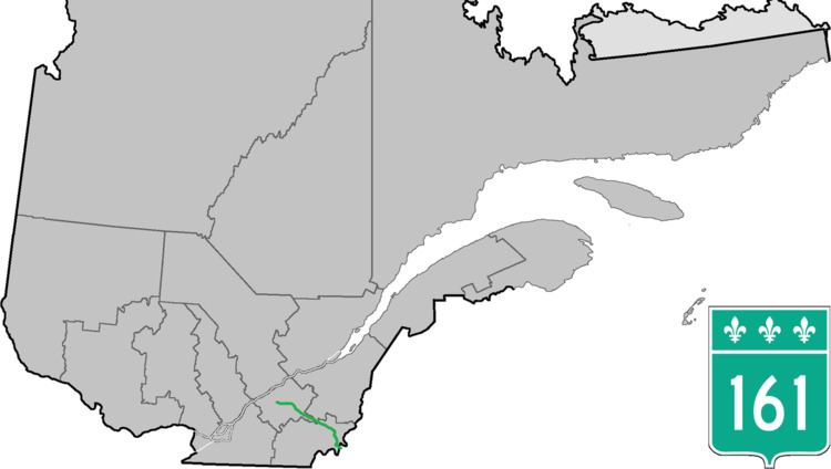
Route 161 is a north/south highway south of the St. Lawrence River in Quebec, Canada. Its current northern terminus is east of the junction of Autoroute 55 in Saint-Wenceslas, and its southern terminus is at the border of Maine in the USA, where it continues as Maine State Route 27.
Contents
Map of QC-161, Qu%C3%A9bec, Canada
On July 6, 2013, the route was severed at Lac-Mégantic, Quebec by an oil train derailment. Ministry of Transport consultants began surveying a site for a new bridge across the Chaudière River in August 2013.
Municipalities along Route 161
References
Quebec Route 161 Wikipedia(Text) CC BY-SA