Time zone EST (UTC−5) Highways A-20 (TCH) A-55 A-955 Route 161 Population 871 (2011) Province Québec | Constituted July 1, 1864 Postal code(s) G0Z 1E0 Area 86 km² Local time Tuesday 10:37 PM Area code 819 | |
 | ||
Website www.municipalite.sainte-eulalie.qc.ca Weather 0°C, Wind NW at 5 km/h, 90% Humidity RCMs Centre-du-Québec, Nicolet-Yamaska Regional County Municipality | ||
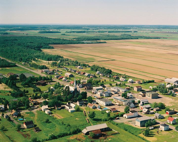
Sainte-Eulalie is a municipality in the Nicolet-Yamaska RCM in the Centre-du-Québec region of Quebec, Canada, situated at the crossroads of Autoroutes 55, 20 and 955. The population as of the Canada 2011 Census was 871.
Contents
Map of Sainte-Eulalie, QC, Canada
Sainte-Eulalie is also the home of Hydro-Québec's Nicolet static inverter station along Autoroute 20, west of its junction with Autoroute 55, as part of its HVDC Quebec - New England Transmission circuit.
Population
Population trend:
Language
Mother tongue language (2006)
References
Sainte-Eulalie, Quebec Wikipedia(Text) CC BY-SA
