
Palestine grid 160/136 Name meaning "Little" | ||
 | ||
Weather 13°C, Wind W at 23 km/h, 66% Humidity | ||
Qatanna (Arabic: قطنّه) is a Palestinian town in the central West Bank part of the Jerusalem Governorate, located twelve kilometers northwest of Jerusalem. According to the Palestinian Central Bureau of Statistics, the town had a population of approximately 7,500 inhabitants in 2006. Primary health care for the town is level 2.
Contents
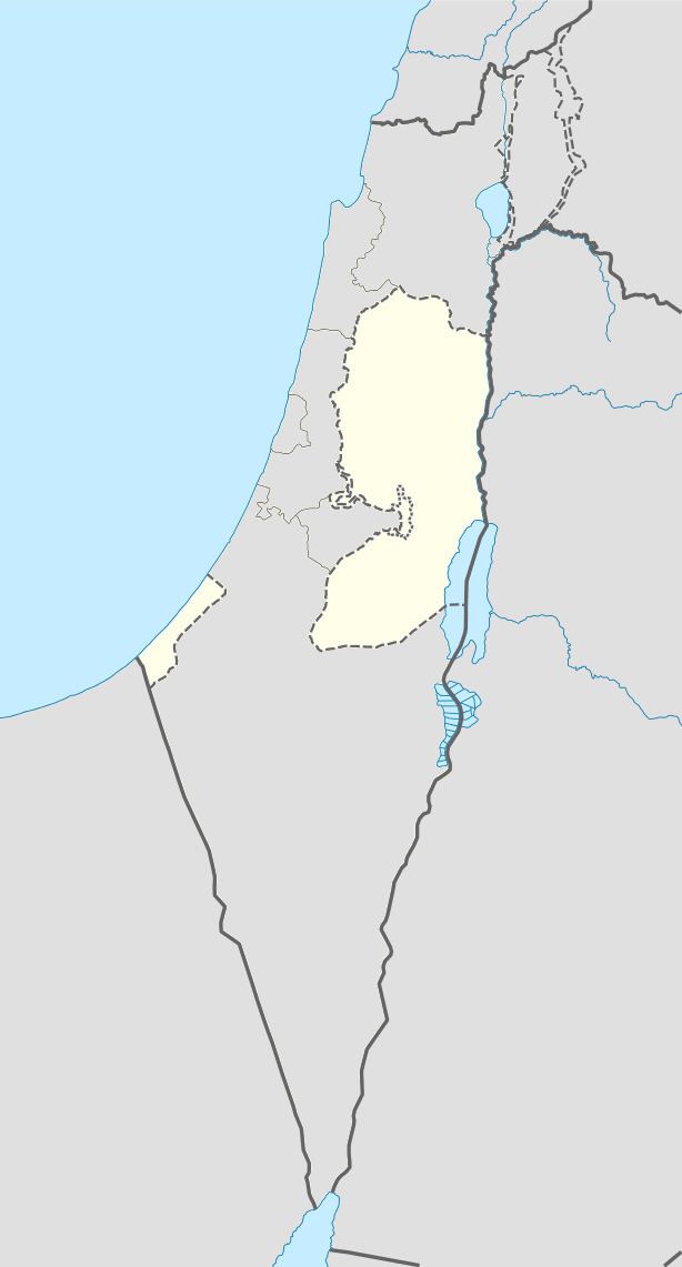
- Map of Katane
- Geography and land
- History
- Ottoman era
- British Mandate era
- 1948 1967
- post 1967
- Enclave
- References
Map of Katane
Geography and land
Qatanna has an elevation of 650 meters above sea level. Nearby towns and villages include Biddu to the east and Beit Liqya to the north.
History
In the Roman and Byzantine periods, Qatanna was home to extensive settlement including agricultural institutions, roads, and many burial caves.
Ottoman era
Incorporated into the Ottoman Empire in 1517 with all of Palestine, Qatanna appeared in the 1596 Ottoman tax registers as being in the Nahiya of Quds of the Liwa of Quds. It had a population of 12 households, all Muslim, and paid taxes on wheat, barley, olives, occasional revenues, goats and/or beehives.
In 1863, the French explorer Victor Guérin found the village to have 250 inhabitants. while an Ottoman village list of about 1870 showed that Kattane had a population of 300, in 57 houses, though the population count included men only. It was also noted that it was located north of Abu Ghosh.
In 1883, the Palestine Exploration Fund's Survey of Western Palestine described it as a "small village in a deep, narrow, rocky valley, surrounded by fine groves of olives and vegetable gardens."
British Mandate era
In the 1922 census of Palestine conducted by the British Mandate authorities, Qatanneh had a population 633, all Muslims. This had increased in the 1931 census to 875, still all Muslim, in 233 houses.
In 1945 Qatanna had a population of 1,150, all Muslims, with 9,464 dunams of land, according to an official land and population survey. Of this, 1,829 dunams were plantations and irrigable land, 1,603 used for cereals, while 32 dunams were built-up land.
1948-1967
In the wake of the 1948 Arab–Israeli War, and after the 1949 Armistice Agreements, Qatanna came under Jordanian rule. After the 1948 war, much of Qatanna´s land area was designated as "no-man's land" forming a part of the Demilitarized Zone between the armistice lines of Israeli and Jordanian territory.
post 1967
After the Six-Day War in 1967, Qatanna has been under Israeli occupation. Currently, the town has a total land area of 3,555 dunams, of which 677 dunams are designated as built-up area. After the 1995 Interim Agreement on the West Bank and the Gaza Strip, civil administration of 716 dunams of Qatanna's land (including the built-up zone) was transferred to the Palestinian National Authority.
Qatanna contains three schools, three kindergartens, three clinics, a pharmacy and a medical center run by the Palestinian Red Crescent. There is also a sport's club and a women's center in the town. Qatanna is governed by a village council and Ramallah serves as the town's main urban provider. Four springs — al-Balad, as-Samra, an-Nimr and an-Namous — provide water for the town. The latter spring is completely isolated from the town by the Israeli West Bank barrier.
Enclave
Qatanna along with Biddu, Beit Duqqu, Beit Surik, Beit 'Anan, al-Qubeiba, Beit Ijza, Kharayib Umm al Lahimand, at Tira form the "Biddu enclave". The enclave will be linked to Ramallah by underpasses and a road that is fenced on both sides. From the "Biddu enclave" Palestinians will travel along a fenced road that passes under a bypass road to Bir Nabala enclave, then on a second underpass under Bypass Road 443 to Ramallah.