
Palestine grid 162/140 Name meaning The house of Dukku | ||
 | ||
Weather 11°C, Wind SW at 14 km/h, 90% Humidity | ||
Beit Duqqu (Arabic: بيت دقّو) is a Palestinian village in the Jerusalem Governorate, located 12 kilometers northwest of Jerusalem in the northern West Bank. According to the Palestinian Central Bureau of Statistics, the town had a population of 1,600 in 2006.
Contents
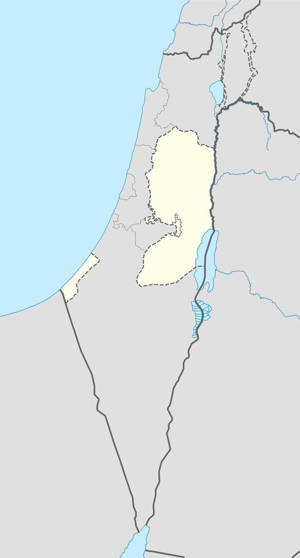
Map of Bayt Duqu
Ottoman era
In 1517, the village was included in the Ottoman empire with the rest of Palestine and in the 1596 tax-records it appeared as Bayt Duqqu, located in the Nahiya of Jabal Quds of the Liwa of Al-Quds. The population was 3 households, all Muslim. They paid a tax rate of 33,3% on agricultural products, which included wheat, barley, olive and fruit trees, goats and beehives in addition to "occasional revenues"; a total of 2730 Akçe.
In 1870 Guérin described it as a "small village, situated on the top of a high hill," while an Ottoman village list from about the same year showed that Beit Duqqu had a population of 125, with a total of 36 houses, though the population count included men only.
In 1883, the Palestine Exploration Fund's Survey of Western Palestine (SWP) described it as "A village of moderate size, standing high on a ridge, with a spring to the north-west and olives to the north. This was also a fief like [ Beit 'Anan ]."
British Mandate era
In the 1922 census of Palestine conducted by the British Mandate authorities, Bait Duqu had a population of 254, all Muslims, increasing in the 1931 census to 328 Muslims, in 84 inhabited houses.
In 1945 Beit Duqqu had a population of 420 Muslims, with 5,393 dunams of land, according to an official land and population survey. Of this, 1,610 dunams were plantations and irrigable land, 1,767 used for cereals, while 27 dunams were built-up land.
1948-1967
In the wake of the 1948 Arab–Israeli War, and after the 1949 Armistice Agreements, Beit Duqqu came under Jordanian rule.
Post-1967
After the Six-Day War in 1967, Beit Duqqu has been under Israeli occupation.
It is linked to Jerusalem by Highway 443. The village's topographic relief is mountainous. It is located 650 meters above sea level, bordered by Beit 'Anan in the southwest, Beit Izja in the southeast, At Tira in the north and Al Qubeibeh in the south. Beit Duqqu's total land area is 7000 dunums including the built-up area. Seven major clans constitute the population.
The main source of living is agriculture, mainly of apricots, olives and grapes.