
Max. depth 62 m (203 ft) Area 330.8 km² | Average depth 9.2 m (30 ft) Surface elevation 95 m | |
 | ||
Location Southern Savonia, Finland Surface area 330.76 km (127.71 sq mi) Settlements | ||
Perhokalastusta l s koskella
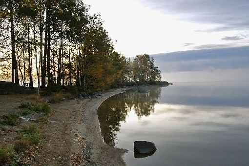
Puula (or Puulavesi) is a lake in the Kymi River area in the Finnish municipalities of Hirvensalmi, Kangasniemi and Mikkeli. Puula is 94.7 metres (311 ft) above sea level, the area is 331 square kilometres (128 sq mi), and it is 62 metres (203 ft) deep at its deepest point, located near Porttisalmi at Simpiänselkä, which is the biggest open area of the lake. Two big lakes Suontee and Puula were one lake until year 1854, when the water level was lowered 2.5 meters. This has brought up geological stacks, which are formed by water.
Contents
Map of Puula, Finland
Water from lake Puula runs down to Vahvajärvi through Kissakoski Canal.
Puula
References
Puula Wikipedia(Text) CC BY-SA