
Charter 1656 Municipal tax rate 19.5% Region Southern Savonia | Time zone EET (UTC+2) Local time Sunday 6:50 AM | |
 | ||
Area rank 186th largest in Finland Weather -4°C, Wind S at 6 km/h, 97% Humidity | ||
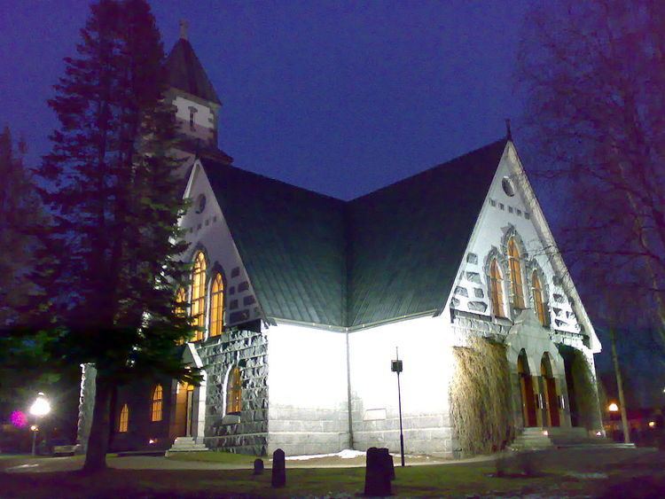
Hirvensalmi is a municipality of Finland.
Contents
Map of 52550 Hirvensalmi, Finland
It is located in the province of Eastern Finland and is part of the Southern Savonia region. The municipality has a population of 2,262 (31 March 2016) and covers an area of 465.25 square kilometres (179.63 sq mi) of which 281.2 km2 (108.6 sq mi) is water. The population density is 4.86 inhabitants per square kilometre (12.6/sq mi).
Neighbour municipalities: Joutsa, Kangasniemi, Mikkeli, Mäntyharju and Pertunmaa.
Hirvensalmi is often said to be an island municipality. Most people live on the mainland, but living on an island is not unheard of. Most islands, though, are only inhabited during the summer holidays, when holidaymakers come mainly from Southern Finland and double the population of Hirvensalmi. In the north lake Puula marks the border of Hirvensalmi and Kangasniemi, and in the west lake Suontee separates it from Joutsa.
The municipality is unilingual Finnish.
Some villages
Hirvenlahti, Hirvensalmi, Hämeenmäki, Kekkola, Kilkki, Kissakoski, Kotkatvesi, Kuitula, Lahnaniemi, Lelkola, Malvaniemi, Monikkala, Noitti, Pääskynsaari, Suonsalmi, Syväsmäki, Vahvamäki, Vahvaselkä, and Väisälä.