
Prominence 570 m | Elevation 1,999 m Mountain range Tafjordfjella | |
 | ||
Isolation 26.76 kilometres (16.63 mi) Similar Karitinden, Tordsnose, Storskrymten, Folarskardnuten, Kvitegga | ||
Puttegga or Pyttegga is the highest mountain in Møre og Romsdal county, Norway. It lies on the border of Norddal Municipality and Rauma Municipality. It is located just 4 kilometres (2.5 mi) northwest of the mountain Karitinden, inside Reinheimen National Park. The nearest village is Tafjord, 14 kilometres (8.7 mi) to the west. The mountain is easily accessed from the cabin Pyttbua to the east, which is maintained by the Norwegian Trekking Association.
Contents
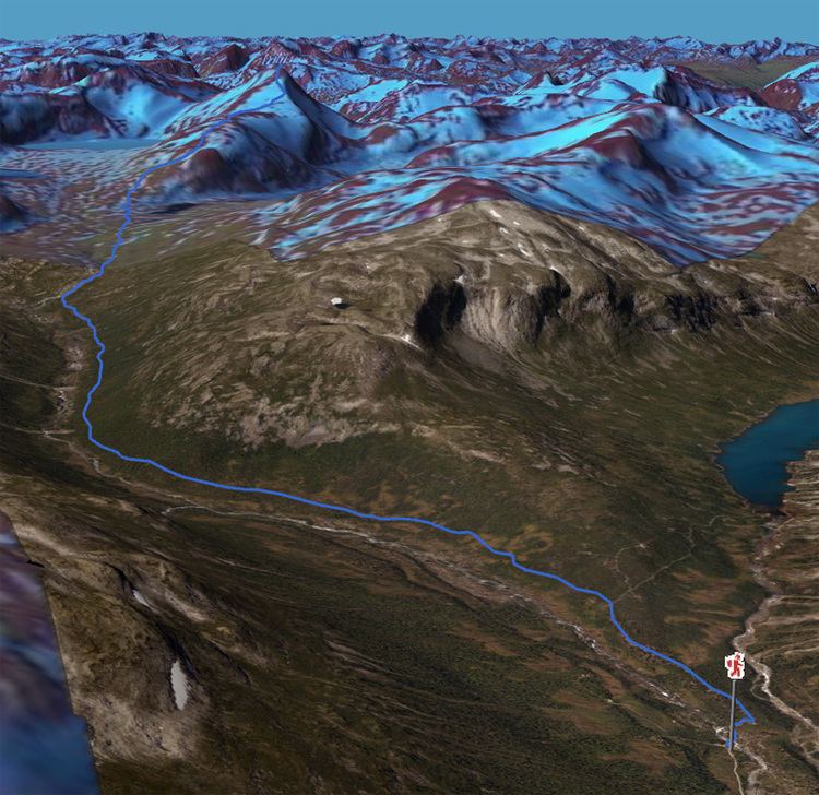
Map of Puttegga, 6213 Tafjord, Norway
Name
The first element is putt or pytt, meaning "puddle" or "small lake". The last element is the finite form of egg which means "edge" or "mountain ridge". The edge is surrounded by several small lakes.
References
Puttegga Wikipedia(Text) CC BY-SA