
Topo map 1219 III Hjørundfjord Prominence 1,311 m Parent range Sunnmørsalpane | Elevation 1,717 m Mountain range Sunnmørsalpane | |
 | ||
Isolation 21.69 kilometres (13.48 mi) Similar Hornindalsrokken, Skårasalen, Blæja, Slogen, Kolåstinden | ||
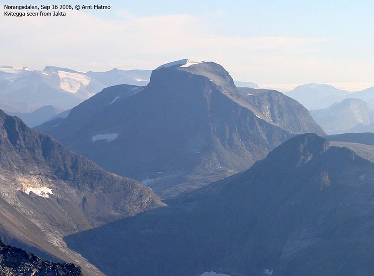
Kvitegga is a mountain on the border between Stranda Municipality and Ørsta Municipality in Møre og Romsdal county, Norway. It is located about 7 kilometres (4.3 mi) southeast of the village of Leira (in Ørsta) and about 8 kilometres (5.0 mi) west of Hellesylt (in Stranda). The 1,717-metre (5,633 ft) tall Kvitegga is located about 3 kilometres (1.9 mi) northeast of the nearby mountain Hornindalsrokken.
Map of Kvitegga, 6190 Bj%C3%B8rke, Norway
Kvitegga is the highest mountain in the Sunnmørsalpene mountain range. It offers a very wide view, from Galdhøpiggen in the southeast (just jutting above the Sikilbreen glacier), to the impressing Hurrungane mountains further to the southeast, as well as all the local alpine surroundings and a wide swath of the ocean in the west.
References
Kvitegga Wikipedia(Text) CC BY-SA