
Existed: 1890 – present Length 216 km | Constructed 1890 | |
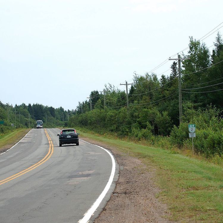 | ||
Route 2, also known as Veterans Memorial Highway and the All Weather Highway, is a 216-kilometre (134 mi) two-lane uncontrolled access highway traversing Prince Edward Island, Canada from Tignish to Souris. Route 2 was recognized as the first numbered highway in the province in 1890, when it opened between Charlottetown and Summerside.
Contents
Map of PE-2, Prince Edward Island, Canada
It passes through the cities of Summerside and Charlottetown and roughly parallels the former primary railway line through the province, which was abandoned in 1989.
The highway was first paved in the 1950s with many upgrades in recent decades. A perimeter arterial highway (ring road) across the northern and eastern part of Charlottetown was constructed as part of Route 2 in the 1990s with funding from a $200 million federal adjustment fund for road construction after the railway was abandoned. This section of road was extended to Upton Road and is now signed for Route 1 (the Trans-Canada Highway), although Route 2 uses a small portion of the arterial highway between the Malpeque Road and St. Peter's Highway.
There have been preliminary discussions about making the highway a four-lane expressway, particularly since the abandonment of rail service in the province.
Names
Route 2 is commonly called the "All Weather Highway," as it was one of the first roads in Prince Edward Island to be open for traffic in all seasons. In 2003 the highway was designated "Veterans Memorial Highway", the same year that it qualified for federal infrastructure funding for much-needed capacity upgrades.
Route 2 has several local names:
Mount Pleasant diversion
The portion of the highway running through the farming hamlet of Mount Pleasant west of Summerside was diverted for several years during the 1940s with the establishment of an air force base named RCAF Station Mount Pleasant. The base was closed following World War II and the "Western Road" was returned to its original alignment which currently runs along the former flight line and tarmac of the air force base. The diversion road constructed around the base is still in use as a local public road.