
Average_Earnings $38,916 Population 44,348 (2011) | Area 1,980 km² University Collège Acadie Î.-P.-É. | |
 | ||
Incorporated Towns & Municipalities Townships and royalties ListPrince Royalty, Lot 1, Lot 2, Lot 3, Lot 4, Lot 5, Lot 6, Lot 7, Lot 8, Lot 9, Lot 10, Lot 11, Lot 12, Lot 13, Lot 14, Lot 15, Lot 16, Lot 17, Lot 18, Lot 19, Lot 25, Lot 26, Lot 27, Lot 28 Points of interest Confederation Bridge, Jacques Cartier Provincial, Mill River Fun Park, THE BOTTLE HOUSES, Cedar Dunes Provincial Destinations Summerside, Geography of Prince Edward Is, Kensington, Tignish - Prince Edward Is, Confederation Trail | ||
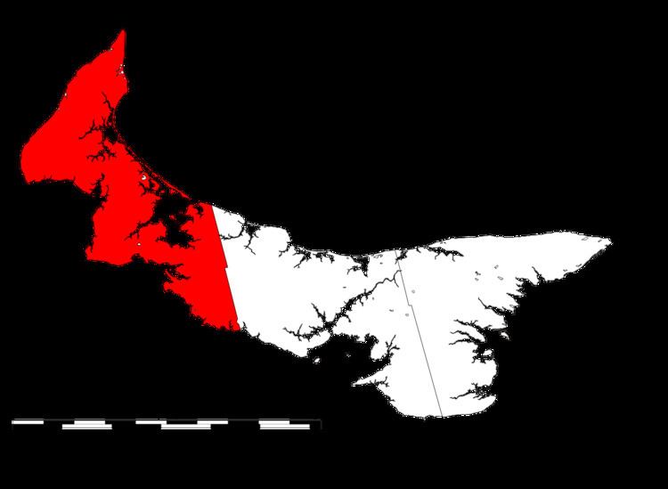
Prince County is located in western Prince Edward Island, Canada. The county's defining geographic feature is Malpeque Bay, a sub-basin of the Gulf of St. Lawrence, which creates the narrowest portion of Prince Edward Island's landmass, an isthmus upon which the city of Summerside is located.
Contents
Map of Prince County, PE, Canada
The geographic division created by Malpeque Bay is informally augmented by a socio-economic division between the more urban East Prince and rural West Prince, although the line of division generally varies. Much of Prince Edward Island's industrial base is concentrated in the eastern part of the county, with three large frozen French fry manufacturing plants, a potato chip manufacturing plant, and an aerospace industry located at a former air force base. Industrial farming for root crops such as potatoes accounts for the majority of rural economic activity, followed by fishing for shellfish such as lobster and crab.
The county was named by Capt. Samuel Holland in 1765 for George, Prince of Wales, who would later become King George IV (1762–1830). As such, Prince County's shire town was designated as Princetown, however the inferior harbour for Prince Royalty saw the settlement pattern change to give this honour to Summerside.
The name "Prince County" is notable for being unique for titling land subdivisions in the Commonwealth of Nations.