
Average_Earnings $36,407 Population 17,990 (2011) | Area 1,684 km² | |
 | ||
Townships and royalties ListKings Royalty, Lot 38, Lot 39, Lot 40, Lot 41, Lot 42, Lot 43, Lot 44, Lot 45, Lot 46, Lot 47, Lot 51, Lot 52, Lot 53, Lot 54, Lot 55, Lot 56, Lot 59, Lot 61, Lot 63, Lot 64, Lot 66 Parishes East Parish, Prince Edward Island, St. George's Parish, Prince Edward Island, St. Andrew's Parish, Prince Edward Island Points of interest Red Point Provincial Park, Basin Head Provincial, Panmure Island Provincial, Souris Beach Provincial, East Point Lighthouse & Welco | ||
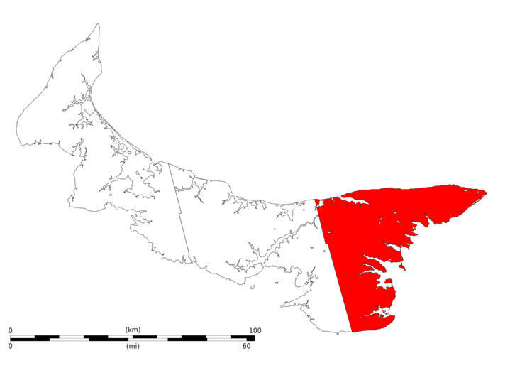
Kings County (2011 population 17,990) is located in eastern Prince Edward Island, Canada.
Contents
Map of Kings County, PE, Canada
It is the province's smallest, most rural and least-populated county. Kings County is also least dependent upon the agriculture industry compared with the other two counties, while being more heavily dependent on the fishery and forest industry. Comparatively large parts of the county are still forested and it hosts the province's largest sawmill. The only heavy industry, aside from forestry and industrial farming, is a small shipyard, although secondary manufacturing has been established in recent years.
The county was named by Capt. Samuel Holland in 1765 for King George III (1738-1820). As such, Kings County's shire town is Georgetown. The largest town is Montague.
In 2008, Kings County was the region with the second highest self-reported obesity rate in Canada.