
Country Canada Time zone AST (UTC-4) Elevation 40 m Local time Friday 8:56 PM Area code 902 | Incorporated 1964 Postal Code C0B 1Z0 Area 62 ha | |
 | ||
Weather -3°C, Wind S at 23 km/h, 81% Humidity Parish Egmont Parish, Prince Edward Island | ||
St. Louis is a municipality that holds community status in Prince Edward Island, Canada.
Contents
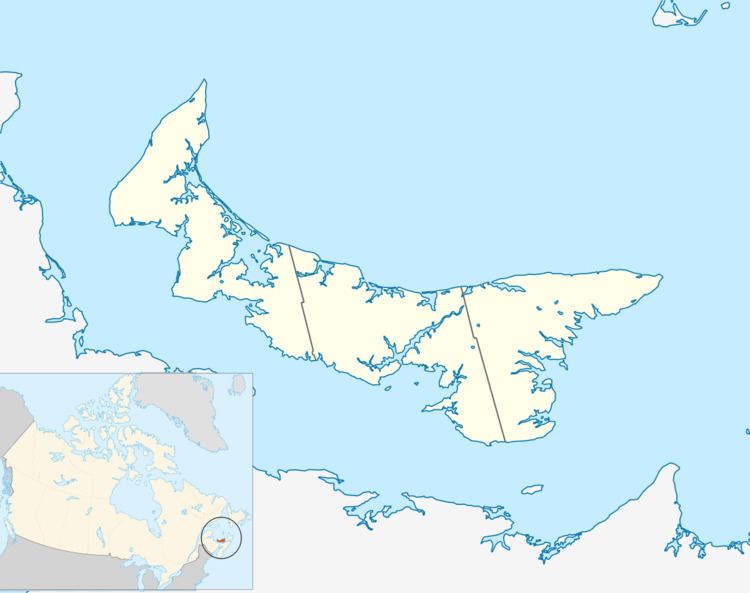
Map of Saint Louis, PE, Canada
It is located in western Prince County, west of the junction of Route 155 and Route 152, 150 kilometres (93 mi) from Charlottetown, the provincial capital.
The community lies in the Egmont federal electoral district, and in the Tignish-Palmer Road and Alberton-Roseville provincial electoral districts.
Demographics
In 2006, St. Louis had a population of 80 living in 38 dwellings, an 18.4% decrease from 2001. The community has a land area of 0.62 km2 (0.24 sq mi) and a population density of 129.7/km2 (336/sq mi).
Education
St. Louis Elementary is the only school in the community. It is administered by the English Language School Board of Prince Edward Island. It offers English or French Immersion classes for students from St. Louis and other communities such as St.Edward, Miminegash, Pleasant View, Waterford, Palmer Road and DeBlois. It was the first school to offer French Immersion in the province.