
 | ||
Prince edward island kiteboarding trip malpeque bay kite point
Malpeque Bay is a 204 km2 (79 sq mi) bay on the north shore of Prince Edward Island, Canada.
Contents
DescriptionEdit
Malpeque Bay is the second largest bay in terms of surface area in Prince Edward Island, following Hillsborough Bay. It is also notable for almost dividing the province; an isthmus occupied by the city of Summerside and the unincorporated communities of North St. Eleanors, Sherbrooke and Travellers Rest separates Malpeque Bay from Bedeque Bay on the island's south shore.
IslandsEdit
Malpeque Bay has several islands located along its northern border as well as entirely within the bay itself:
InletsEdit
Malpeque Bay has several inlets:
CommunitiesEdit
The city of Summerside is the largest population centre directly fronting the bay. The following communities are located along the bay's shoreline from west to east:
Ramsar siteEdit
Malpeque Bay was classified as a wetland of international importance via the Ramsar Convention on April 28, 1988. It consists of marine and coastal wetlands ranging in altitude from sea level to 8 m. It is protected from the Gulf of St. Lawrence by a sandspit and dune formation that stretches 25 km. Small rivers and creeks are the source of freshwater for the lagoon.
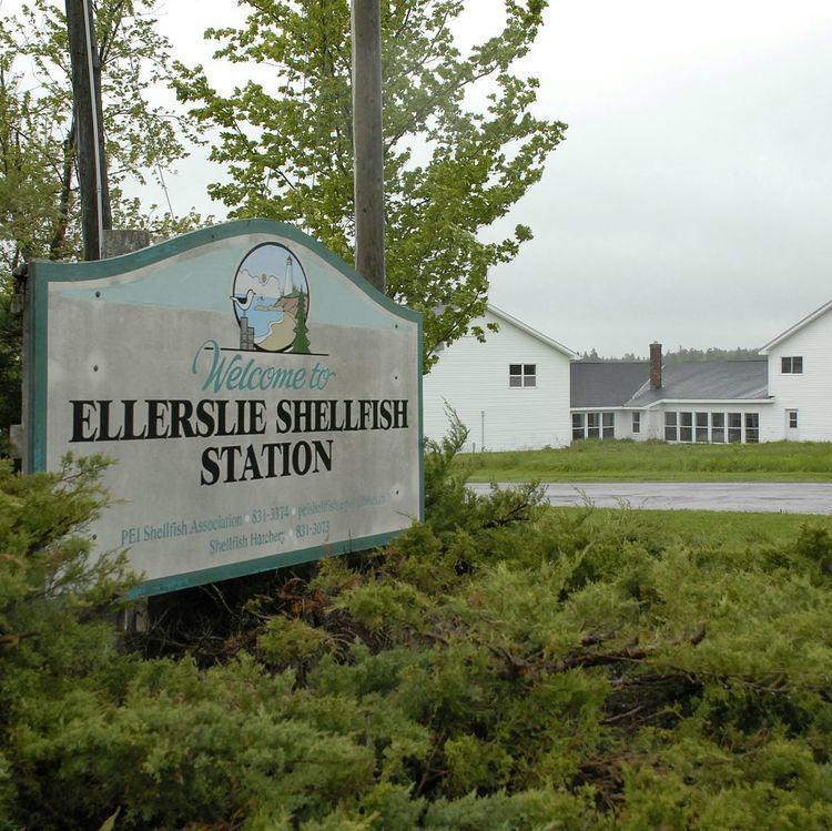
It is "important for supporting large nesting colonies" of herons and cormorants, and is a meaningful nursery area for fin and shell fishes. Malpeque oysters are prized by connoisseurs.
The bay supports several recreational areas, primarily at Cabot Beach Provincial Park and Green Park Provincial Park.
There is some concern regarding development of the area and its surroundings. There has been extensive cottage development on the eastern and southern shores of the bay since the 1950s. Prince Edward Island's largest industrial operation, two french fry processing plants operated by Cavendish Farms, discharge into the Barbara Weit River in the southeastern corner of the bay. A petition was also organized in the early 2000s to stop a proposed wind energy project along the eastern shore of the bay which was submitted to Natural Resources Canada. However, the development never took place. The recreational use of the area is a "threat to nesting and brood-rearing Piping plovers."