
Type Road Length 12 km | ||
 | ||
Major suburbs Adelaide, Thebarton, West Croydon, Kilkenny, Woodville South, Woodville, Woodville West, Albert Park, Cheltenham, Alberton, Port Adelaide Via Adelaide, Thebarton, West Croydon, Kilkenny | ||
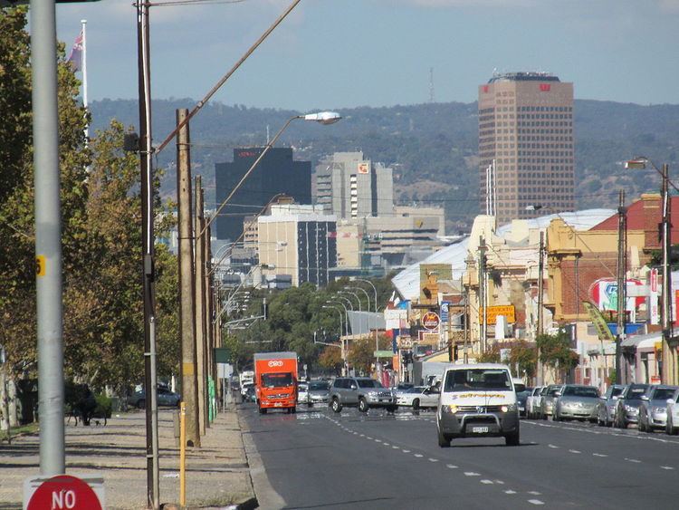
Port Road (state route A7) is a major road in Adelaide, South Australia connecting the central business district with Port Adelaide. It is 12 km (7.5 mi) long and exceptionally wide, approximately 70 m. When first conceived upon the establishment of Adelaide, it was designed to be able to accommodate a standard road, a railway line and a canal. The canal and railway line were never created in the road allotment: the railway line when built in 1853 was built 1 km to the east.
Map of Adelaide - Port Adelaide, South Australia, Australia
In the 1968 Metropolitan Adelaide Transport Study (MATS plan) the road was destined to be upgraded to become the Port Freeway. The plan fell through, yet in 2005 the Government of South Australia announced a 600 m tunnel for South Road below Port Road and the railway line. The Torrens Road to River Torrens project to upgrade South Road to include a free-flowing road in a trench under Port Road and several other intersections started construction in 2015 and is expected to be completed by the end of 2018.