
Population 56 (2011 census) Postcode(s) 5700 Founded 1993 | Established 1993 Time zone ACST (UTC+9:30) Elevation 7 m Postal code 5700 | |
 | ||
Location 273.8 km (170 mi) north of Adelaide9 km (6 mi) south of Port Augusta | ||
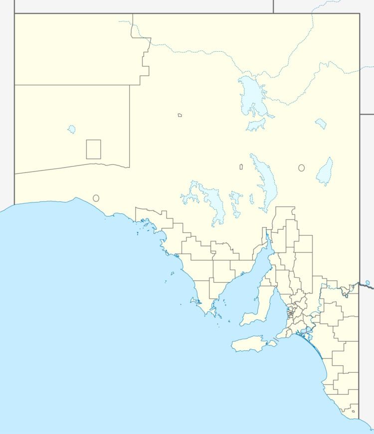
Port Paterson is a locality in the Australian state of South Australia located on the east coast of Spencer Gulf at the gulf's northern end about 237.4 kilometres (147.5 mi) north of the state capital of Adelaide and about 9 kilometres (5.6 mi) south of the centre of Port Augusta.
Map of Port Paterson SA 5700, Australia
Its boundaries were created in August 1993 over land that was “originally a private subdivision of section 540” in the cadastral unit of the Hundred of Davenport. Its name is reported as being derived from “James Pat(t)erson” who is described as an “early pastoralist”. Port Paterson is bounded by the coastline to the west and by the Augusta Highway to the east and includes the following former power generation facilities - the Northern Power Station and the Playford B Power Station.
As of 2015, the majority land use within the locality was industry which was associated with the former power stations. Other uses include primary industry, residential and conservation which concerns the strip of land immediately adjoining the coastline except for that used for the former power stations.
Port Paterson is located within the federal division of Grey, the state electoral district of Stuart and the local government area of the City of Port Augusta.