Area 32.88 km² | ||
Colleges and Universities University of Glamorgan, University of South Wales, Coleg Morgannwg, Pontypridd | ||
Pontypridd is both a community and a principal town of Rhondda Cynon Taf, Wales, and is situated 12 miles/19 km north of the Welsh capital city of Cardiff. Pontypridd is often abbreviated to "Ponty" by local residents.
Contents
- Map of Pontypridd
- Tom jones pontypridd locations
- Pontypridd campus aerial tour university of south wales
- Geography
- History
- Entertainment and social history
- Celebration the best of welsh spice cardiff hosts the welsh asian food awards
- References
Map of Pontypridd
Tom jones pontypridd locations
Pontypridd campus aerial tour university of south wales
Geography
Pontypridd comprises the electoral wards of Cilfynydd, Glyncoch, Graig, Hawthorn, Pontypridd Town, Rhondda, Rhydyfelin Central/Ilan (Rhydfelen), Trallwng (Trallwn), and Treforest (Trefforest).

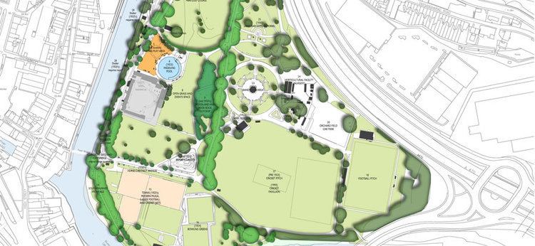
The town sits at the junction of the Rhondda and Taff / Cynon valleys, where the River Rhondda flows into the Taff immediately south of the town at Ynysangharad War Memorial Park. Pontypridd community had a population of 29,781 according to census figures gathered in 2001. while Pontypridd Town Ward itself was recorded as having a population of 2,919 also as of 2001.
The town lies alongside the dual carriageway north-south A470, between Cardiff and Merthyr Tydfil. The A4054, running north and south of the town, was the former main road, and, like the A470, follows the Taff Valley. South of the town is the A473, for Llantrisant and Pencoed. To the west is the A4058, which follows the River Rhondda to Porth and the Rhondda Valley beyond.
History
The name Pontypridd is from "Pont-y-ty-pridd" the Welsh for "bridge by the earthen house", a reference to a succession of wooden bridges that formerly spanned the River Taff at this point.
