
Population 4,505 (2011 ward) Local time Wednesday 2:06 PM | OS grid reference ST093885 Country Wales Post town PONTYPRIDD Dialling code 01443 | |
 | ||
Weather 13°C, Wind S at 18 km/h, 92% Humidity | ||
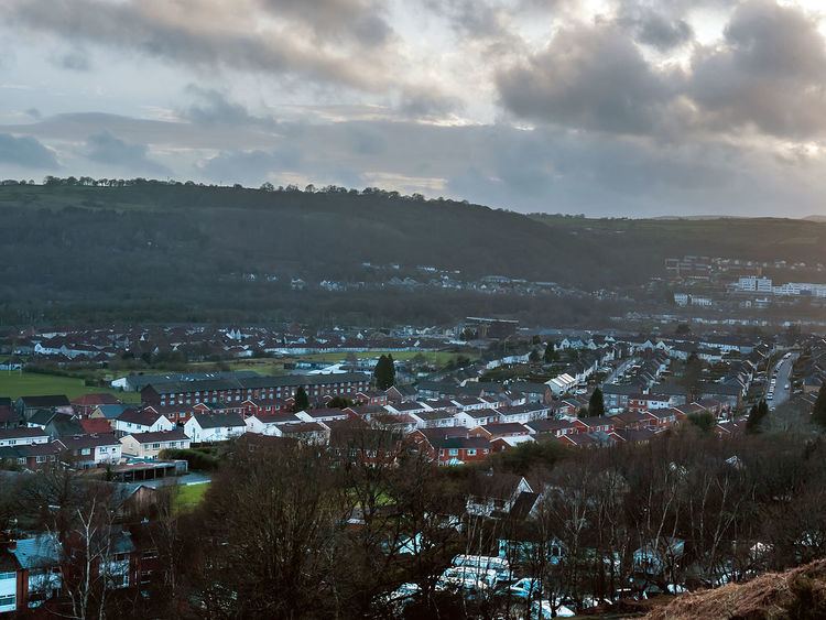
Rhydyfelin ([r̥ɨdəˈvɛlɪn], Mill Ford) is a large village and part of the community of Pontypridd, a town about two miles to its north west, in the county borough of Rhondda Cynon Taf. It is on the eastern bank of the River Taff close to the A470, and historically was in the parish of Eglwysilan.
Contents
- Map of Rhydyfelin Pontypridd UK
- Tenant documentary emma and her family rhydyfelin 2014
- History
- Population
- Notable residents
- Places of interest
- Education
- References
Map of Rhydyfelin, Pontypridd, UK
Tenant documentary emma and her family rhydyfelin 2014
History
Rhydyfelin grew from a rural hamlet to a thriving village in the 19th century, due to its location on the Glamorganshire Canal which took iron from Merthyr Tydfil to the city of Cardiff, and linking to this Dr Richard Griffiths' canal and tramway which took coal from the Rhondda Valleys. Also of note was the nearby Iron and Tin works at Treforest. Other minor works included an ironworks on the site of the tram shed buildings.
Neighbouring villages are Hawthorn, Treforest and Glyntaff. The village is split into two electoral wards: the lower, largely historic part of the village is in Hawthorn Ward along with the settlement of Upper Boat, which comprises some of the nearby Treforest Estate, while the largely modern housing estates of upper Rhydyfelin are in the ward of Rhydyfelen Central and Ilan. Rhydyfelin is also known as Rhydfelen, which means Yellow ford in the Welsh language.
The original name was Rhydfelen, and the version "Rhydyfelin" is believed to be a corruption.
Rhydyfelin was once served by two railway stations: one on the Cardiff Railway, and one on the Pontypridd, Caerphilly and Newport Railway. After the Grouping, the former Cardiff Railway halt became Rhydyfelin Low Level Halt and the halt of the Pontypridd, Caerphilly and Newport Railway became Rhydyfelin High Level Halt. The halts closed in 1931 and 1953 respectively.
The Church of St Luke is in the Church in Wales Parish of Rhydyfelin, Diocese of Llandaff.
Population
The populations of Rhydyfelin and Hawthorn wards were 4,672 and 3,652 respectively (8,324 in total) in the 2001 Census (the 2009 electorates were 3,084 and 2,781, respectively) out of the total 33,000 residents for Pontypridd as a whole.
Notable residents
Rhydyfelin is home to Welsh Rock artist Gavin Turner Vaughan, a notable musician of the band Stentorian and published poet. Euro Millions winner Mosh, lived on Tennyson Close on the Glyntaff Farm estate, Rhydyfelin from 1970 until his £136 Million win in 2008.
Places of interest
The village is on the 55 mile Taff Trail from Brecon to Cardiff Bay.
Education
Schools in Rhydyfelin include Cardinal Newman RC School (Roman Catholic) which the famous rugby player Kevin Russell attended, Hawthorn High School (English medium), Heol-Y-Celyn Primary School (Welsh and English medium), and Glantâf infants school (English medium). It is the former home of Coleg Morgannwg (English medium further education college).