
GNIS feature ID 0468554 Area 118 km² Population 1,803 (2000) | Time zone CST (UTC-6) Elevation 265 m Local time Thursday 2:32 AM | |
 | ||
ZIP codes 52213, 52345, 52349, 52352 Weather 2°C, Wind SE at 24 km/h, 59% Humidity | ||
Polk Township is one of twenty townships in Benton County, Iowa, USA. As of the 2000 census, its population was 1,803.
Contents
- Map of Polk IA USA
- History
- Geography
- Cities towns villages
- Unincorporated towns
- Extinct towns
- Adjacent townships
- Cemeteries
- Major highways
- School districts
- Political districts
- References
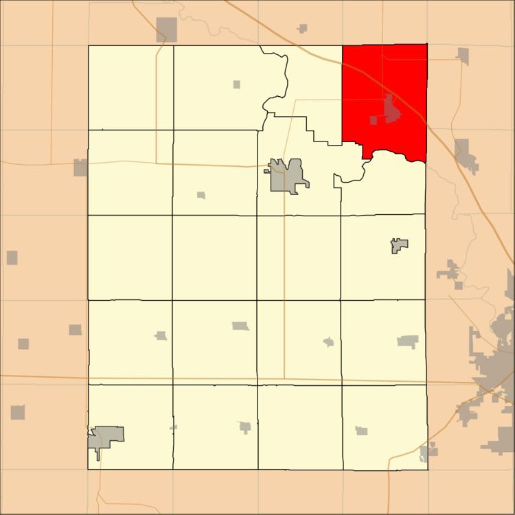
Map of Polk, IA, USA
History
Polk Township was founded in 1848.
Geography
According to the United States Census Bureau, Polk Township covers an area of 45.56 square miles (118 square kilometers); of this, 45.47 square miles (117.76 square kilometers, 99.8 percent) is land and 0.09 square miles (0.24 square kilometers, 0.2 percent) is water.
Cities, towns, villages
Unincorporated towns
(This list is based on USGS data and may include former settlements.)
Extinct towns
(These towns are listed as "historical" by the USGS.)
Adjacent townships
Cemeteries
The township contains these five cemeteries: Cox, Kisling, Saint Marys, Spencers Grove and Urbana.
Major highways
School districts
Political districts
References
Polk Township, Benton County, Iowa Wikipedia(Text) CC BY-SA