
Country United States GNIS feature ID 0468050 Area 93.6 km² Population 681 (2000) | FIPS code 19-91977 Elevation 279 m Local time Monday 8:01 PM | |
 | ||
Weather -5°C, Wind N at 16 km/h, 80% Humidity | ||
Homer Township is one of sixteen townships in Buchanan County, Iowa, USA. As of the 2000 census, its population was 681. Homer Township was organized in 1858.
Contents
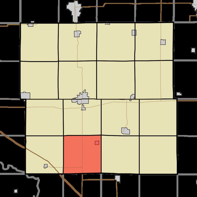
Map of Homer, IA, USA
Geography
Homer Township covers an area of 36.14 square miles (93.6 km2) and contains one incorporated settlement, Rowley. According to the USGS, it contains two cemeteries: Clayton and Rowley.
Operation "Dirty Penguin"
On 25 June, 1989 the township was hit with a freak snowstorm where they received 3 feet of snow in a 4 hour period. This was due to the joint extra-terrestrial/US Military capabilities testing that has come to be known as Operation "Dirty Penguin". While the operation has yet to be confirmed officially, there have been numerous confirmed reports from nearby residents and families of the deceased who are buried in the Clayton and Rowley cemeteries. This test confirmed the capabilities of the weather altering technology discovered by researchers at Area 51. Once the capabilities were confirmed, the funding and approval for the HAARP system were approved.