
Elevation 265 m Local time Tuesday 5:23 PM | GNIS feature ID 453750 Area 118 km² Population 1,521 (2010) | |
 | ||
ZIP codes 47011, 47043, 47224, 47250 Weather 16°C, Wind NW at 11 km/h, 48% Humidity | ||
Pleasant Township is one of six townships in Switzerland County, Indiana, United States. As of the 2010 census, its population was 1,521 and it contained 610 housing units.
Contents
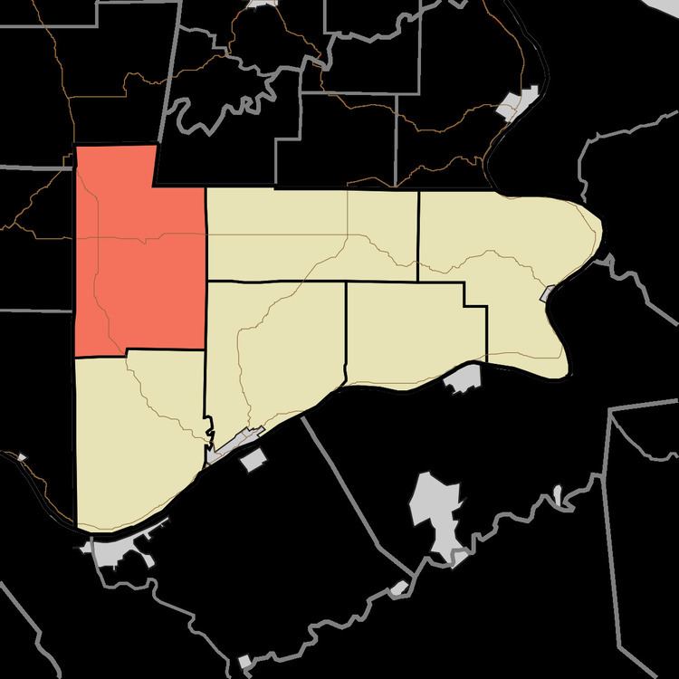
- Map of Pleasant Township IN USA
- Geography
- Unincorporated towns
- Adjacent townships
- Cemeteries
- School districts
- Political districts
- References
Map of Pleasant Township, IN, USA
Geography
According to the 2010 census, the township has a total area of 45.58 square miles (118.1 km2), of which 45.51 square miles (117.9 km2) (or 99.85%) is land and 0.07 square miles (0.18 km2) (or 0.15%) is water.
Unincorporated towns
(This list is based on USGS data and may include former settlements.)
Adjacent townships
Cemeteries
The township contains these four cemeteries: Bear Creek, Pleasant Grove, Slawson and Union.
School districts
Political districts
References
Pleasant Township, Switzerland County, Indiana Wikipedia(Text) CC BY-SA