
GNIS feature ID 453249 Area 102.5 km² Population 900 (2010) | ZIP codes 47011, 47043, 47250 Elevation 175 m Local time Tuesday 4:38 PM | |
 | ||
Weather 11°C, Wind SW at 14 km/h, 91% Humidity | ||
Craig Township is one of six townships in Switzerland County, Indiana, United States. As of the 2010 census, its population was 900 and it contained 477 housing units.
Contents
- Map of Craig Township IN USA
- History
- Geography
- Unincorporated towns
- Adjacent townships
- Cemeteries
- Major highways
- Airports and landing strips
- School districts
- Political districts
- References
Map of Craig Township, IN, USA
History
Craig Township has the name of George Craig, a pioneer settler and afterward state legislator.
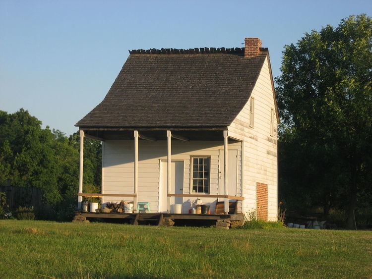
The Thiebaud Farmstead, Venoge Farmstead, and Thomas T. Wright House are listed on the National Register of Historic Places.
Geography
According to the 2010 census, the township has a total area of 39.56 square miles (102.5 km2), of which 39.26 square miles (101.7 km2) (or 99.24%) is land and 0.3 square miles (0.78 km2) (or 0.76%) is water.
Unincorporated towns
(This list is based on USGS data and may include former settlements.)
Adjacent townships
Cemeteries
The township contains these two cemeteries: McKay and Old Bethel.
Major highways
Airports and landing strips
School districts
Political districts
References
Craig Township, Switzerland County, Indiana Wikipedia(Text) CC BY-SA