
Elevation 269 m Local time Monday 11:17 PM | GNIS feature ID 453248 Area 93.34 km² Population 2,040 (2010) | |
 | ||
ZIP codes 47011, 47019, 47020, 47038, 47043 Weather 15°C, Wind S at 21 km/h, 66% Humidity | ||
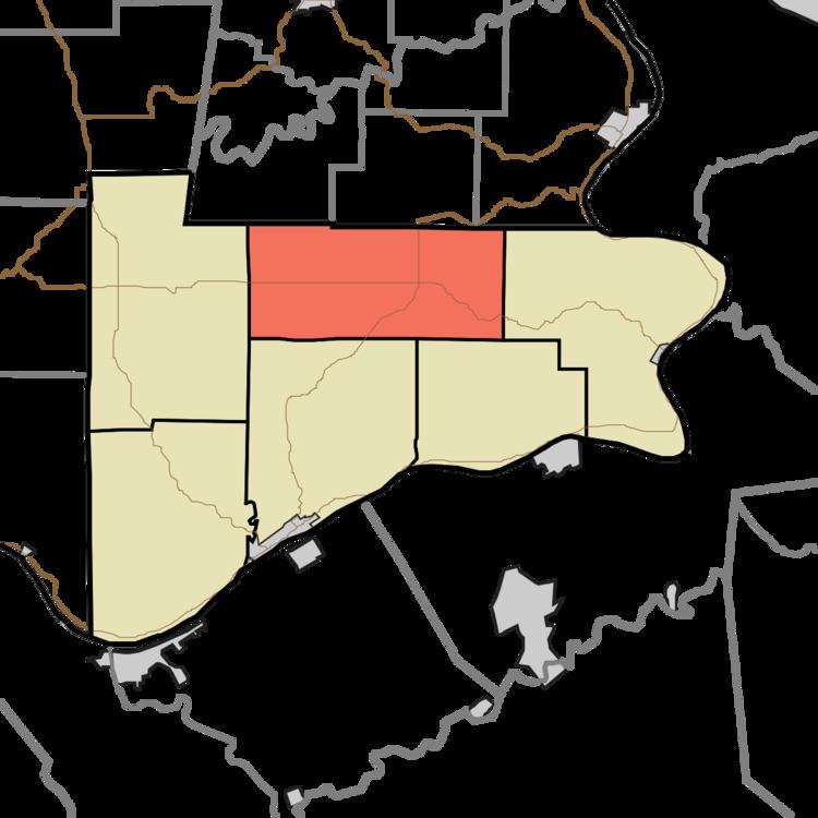
Cotton Township is one of six townships in Switzerland County, Indiana, United States. As of the 2010 census, its population was 2,040 and it contained 849 housing units.
Contents
- Map of Cotton Township IN USA
- Geography
- Unincorporated towns
- Cemeteries
- Major highways
- School districts
- Political districts
- References
Map of Cotton Township, IN, USA
Geography
According to the 2010 census, the township has a total area of 36.04 square miles (93.3 km2), of which 35.99 square miles (93.2 km2) (or 99.86%) is land and 0.06 square miles (0.16 km2) (or 0.17%) is water.
Unincorporated towns
(This list is based on USGS data and may include former settlements.)
Cemeteries
The township contains these four cemeteries: Allensville, Bovard, Pelser and Stow.
Major highways
School districts
Political districts
References
Cotton Township, Switzerland County, Indiana Wikipedia(Text) CC BY-SA