
GNIS feature ID 453499 Area 96.3 km² Population 3,167 (2010) | ZIP codes 47011, 47020, 47043 Elevation 219 m Local time Friday 2:20 PM | |
 | ||
Weather 6°C, Wind NW at 16 km/h, 34% Humidity | ||
Jefferson Township is one of six townships in Switzerland County, Indiana, United States. As of the 2010 census, its population was 3,167 and it contained 1,493 housing units.
Contents
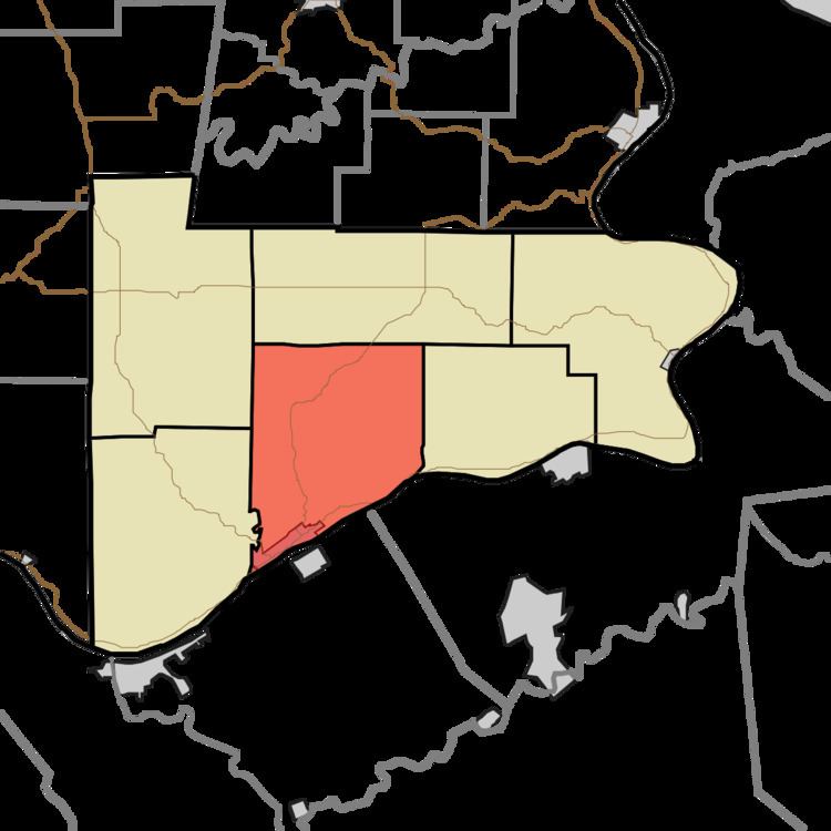
- Map of Jefferson Township IN USA
- Geography
- Cities towns villages
- Unincorporated towns
- Adjacent townships
- Major highways
- Rivers
- School districts
- Political districts
- References
Map of Jefferson Township, IN, USA
Geography
According to the 2010 census, the township has a total area of 37.2 square miles (96 km2), of which 36.96 square miles (95.7 km2) (or 99.35%) is land and 0.24 square miles (0.62 km2) (or 0.65%) is water.
Cities, towns, villages
Unincorporated towns
(This list is based on USGS data and may include former settlements.)
Adjacent townships
Major highways
Rivers
School districts
Political districts
References
Jefferson Township, Switzerland County, Indiana Wikipedia(Text) CC BY-SA