
GNIS feature ID 453736 Area 48.54 km² Population 527 (2010) | ZIP codes 47018, 47040 Elevation 260 m Local time Friday 3:15 PM | |
 | ||
Weather 13°C, Wind W at 19 km/h, 76% Humidity | ||
Pike Township is one of four townships in Ohio County, Indiana, United States. As of the 2010 census, its population was 527 and it contained 229 housing units.
Contents
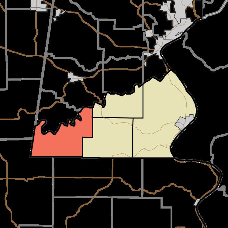
- Map of Pike Township IN USA
- History
- Geography
- Unincorporated towns
- Cemeteries
- School districts
- Political districts
- References
Map of Pike Township, IN, USA
History
Pike Township was founded in 1845.
Geography
According to the 2010 census, the township has a total area of 18.74 square miles (48.5 km2), all land.
Unincorporated towns
(This list is based on USGS data and may include former settlements.)
Cemeteries
The township contains four cemeteries: Bear Creek Cemeteries, Cooper, Pate and Saint Peters.
School districts
Political districts
References
Pike Township, Ohio County, Indiana Wikipedia(Text) CC BY-SA