
Country United States GNIS feature ID 453219 Local time Monday 3:53 PM | FIPS code 18-13240 Elevation 137 m Population 2,801 (2010) | |
 | ||
Weather 17°C, Wind S at 24 km/h, 78% Humidity Area 96.45 km² (94.25 km² Land / 220 ha Water) | ||
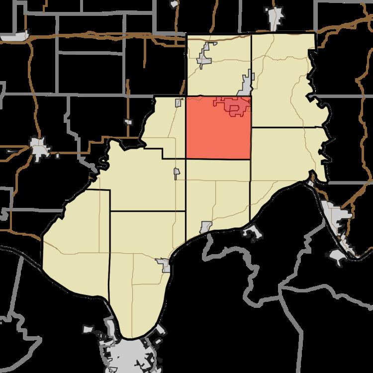
Clay Township is one of nine townships in Spencer County, Indiana. As of the 2010 census, its population was 2,801 and it contained 1,185 housing units.
Contents
Map of Clay Township, IN, USA
History
Clay Township was the last township of Spencer County to be organized, because the rolling hills and relatively poor soil attracted fewer settlers than other areas in the vicinity.
Geography
According to the 2010 census, the township has a total area of 37.24 square miles (96.5 km2), of which 36.39 square miles (94.2 km2) (or 97.72%) is land and 0.85 square miles (2.2 km2) (or 2.28%) is water.
Cities and towns
Unincorperated towns
References
Clay Township, Spencer County, Indiana Wikipedia(Text) CC BY-SA