
Population 137,520 (2004) | Area 2,041 sq mi | |
 | ||
Destinations Points of interest Scone Palace, Blair Castle, Gleneagles Hotel, Huntingtower Castle, Elcho Castle | ||
Map of Perth and Kinross
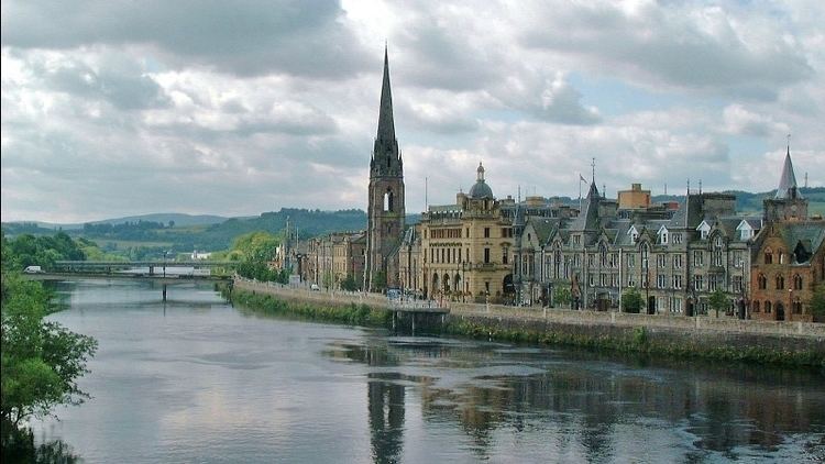
Perth and Kinross (Scots: Pairth an Kinross, Scottish Gaelic: Peairt agus Ceann Rois) is one of the 32 council areas of Scotland and a Lieutenancy Area. It borders onto the Aberdeenshire, Angus, Argyll and Bute, Clackmannanshire, Dundee, Fife, Highland and Stirling council areas. Perth is the administrative centre. The council boundaries correspond broadly, but not exactly, with the former counties of Perthshire and Kinross-shire.
Contents
- Map of Perth and Kinross
- Falls of bruar jump pitlochry perth and kinross scotland
- Scenic drive pitlochry perth and kinross to braemar braigh mharr ballater scotland uk
- Places of interest
- Council political composition
- Tom kitchin saturday kitchen recipe search co uk
- Scotland v england boxing dinner perth scotland kieran boyle v daryl pearce
- References
Perthshire and Kinross-shire shared a joint county council from 1929 until 1975. The area formed a single local government district in 1975 within the Tayside region under the Local Government (Scotland) Act 1973, and was then reconstituted as a unitary authority (with a minor boundary adjustment) in 1996 by the Local Government etc. (Scotland) Act 1994.
Falls of bruar jump pitlochry perth and kinross scotland
Scenic drive pitlochry perth and kinross to braemar braigh mharr ballater scotland uk
Places of interest
Council political composition
On 18 September 2014, Perth and Kinross, voted "No" in the Scottish Independence Referendum at 60.2% with an 86.9% turnout rate.