Country United States Area 164.7 km² Local time Sunday 4:50 AM | GNIS feature ID 453714 Elevation 225 m | |
 | ||
ZIP codes 46544, 46545, 46561, 46613, 46614 Weather 7°C, Wind E at 18 km/h, 94% Humidity Colleges and Universities Bethel College, Graduate Theological Foundation Points of interest Ferrettie/Baugo Creek Park, Battell Park, Central Park, Putt‑Putt Fun Center, Twin Branch Park | ||
Penn Township is one of thirteen townships in St. Joseph County, in the U.S. state of Indiana. As of the 2000 census, its population was 64,322.
Contents
- Map of Penn Township IN USA
- History
- Geography
- Cities towns villages
- Unincorporated towns
- Adjacent townships
- Cemeteries
- Major highways
- Lakes
- School districts
- Political districts
- References
Map of Penn Township, IN, USA
History
Penn Township was formed in 1832.
The Mishawaka Reservoir Caretaker's Residence was listed on the National Register of Historic Places in 1998.
Geography
According to the United States Census Bureau, Penn Township covers an area of 63.58 square miles (164.7 km2); of this, 62.5 square miles (162 km2) (98.29 percent) is land and 1.08 square miles (2.8 km2) (1.71 percent) is water.
Cities, towns, villages
Unincorporated towns
(This list is based on USGS data and may include former settlements.)
Adjacent townships
Cemeteries
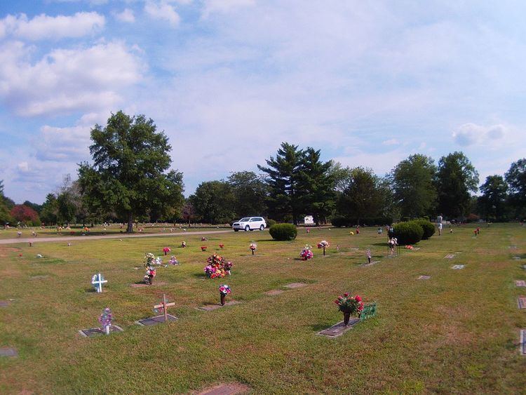
The township contains these seven cemeteries: Chapel Hill Memorial Gardens, Eutzler, Fairview, Ferrisville, Pleasant Valley, Saint Josephs and Saint Josephs.
Major highways
Lakes
School districts
Political districts
References
Penn Township, St. Joseph County, Indiana Wikipedia(Text) CC BY-SA
